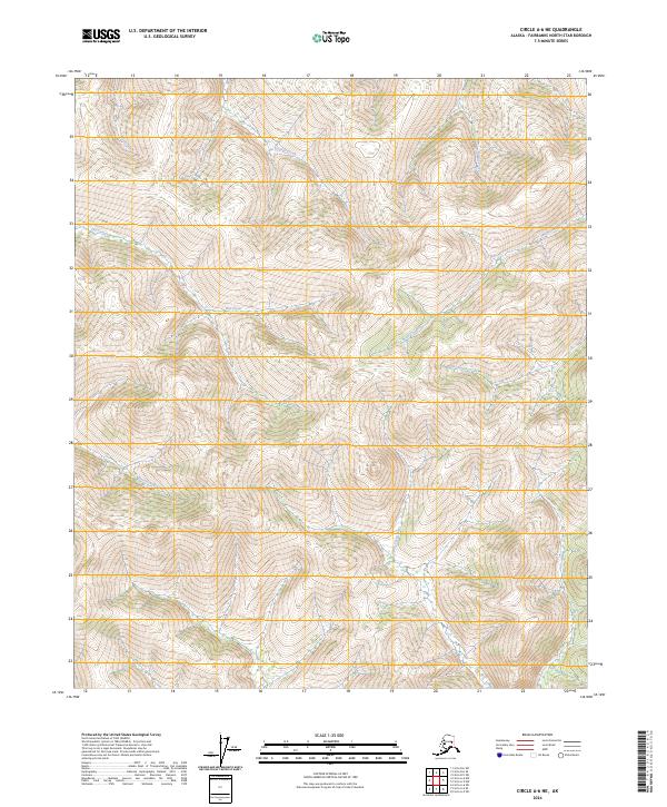
2024 Map of Circle A-6 NE
USGS Topo · Published 2024About this map
Little Chena River and its headwaters define this interior Alaskan landscape, where a dense network of drainages carves through the high country of the Fairbanks North Star Borough. The terrain is marked by significant elevation changes, with water flowing through complex systems such as Birch Creek and Frozenfoot Creek. The absence of roads or permanent settlements highlighted in this 2024 survey emphasizes the remote, undeveloped character of the region. Local hydrology is further detailed by numerous smaller tributaries including Smith Creek, Cassiar Creek, and the curiously named Third Pup, providing a precise record of the watershed patterns within the townships of T5N R5E and T4N R6E.
Find a feature on this map
13 named features on this map. Tap any name to fly to it.
Don’t see what you’re looking for? This feature index may not catch every label — zoom into the map to look around manually.
Map Details
Editions of this 2024 Circle A-6 NE Map
This is the sole edition of this map. No revisions or reprints were ever made.
Other maps of this area

1951 · Circle
USGS Topo · 1:250,000

1951 · Circle A-5
USGS Topo · 1:63,360

1952 · Circle A-5
USGS Topo · 1:63,360

1954 · Circle A-6
USGS Topo · 1:63,360

1954 · Circle B-6
USGS Topo · 1:63,360

1954 · Circle A-5
USGS Topo · 1:63,360

1954 · Circle B-5
USGS Topo · 1:63,360

1955 · Circle
USGS Topo · 1:250,000

1964 · Circle
USGS Topo · 1:250,000
2018 · Circle B-5 SW
USGS Topo · 1:25,000