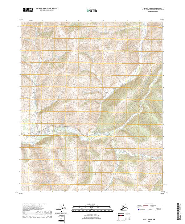
2024 Map of Circle B-5 SW
USGS Topo · Published 2024About this map
The Chatanika River valley serves as the central drainage for this section of the interior, where the Steese Expressway/Highway tracks the river's winding path toward the east. This landscape is defined by an intricate network of waterways including Faith Creek, McManus Creek, and the curiously named Tough Luck Creek. The drainage patterns, featuring tributaries like Glacier Pup and Silver Creek, reveal a terrain shaped by the persistence of water through high-latitude valleys.
Find a feature on this map
21 named features on this map. Tap any name to fly to it.
Don’t see what you’re looking for? This feature index may not catch every label — zoom into the map to look around manually.
Map Details
Editions of this 2024 Circle B-5 SW Map
This is the sole edition of this map. No revisions or reprints were ever made.
Other maps of this area

1951 · Circle
USGS Topo · 1:250,000

1951 · Circle A-5
USGS Topo · 1:63,360

1952 · Circle A-5
USGS Topo · 1:63,360

1954 · Circle A-6
USGS Topo · 1:63,360

1954 · Circle B-6
USGS Topo · 1:63,360

1954 · Circle A-5
USGS Topo · 1:63,360

1954 · Circle B-5
USGS Topo · 1:63,360

1955 · Circle
USGS Topo · 1:250,000

1964 · Circle
USGS Topo · 1:250,000
2018 · Circle B-5 SW
USGS Topo · 1:25,000