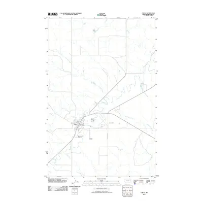
2011 Map of Circle
USGS Topo · Published 2011About this map
The town of Circle serves as the focal point of this Eastern Montana landscape, situated at the confluence of several significant prairie waterways. The Redwater River winds through the center of the township, joined by tributaries including Horse Creek and Lone Tree Creek. This 2011 survey captures the local infrastructure essential to this rural county seat, from the Circle Post Office and McCone Co Vol Fire Dept to the Circle Town County Airport located just east of the main settlement.
Find a feature on this map
22 named features on this map. Tap any name to fly to it.
Don’t see what you’re looking for? This feature index may not catch every label — zoom into the map to look around manually.
Map Details
Editions of this 2011 Circle Map
This is the sole edition of this map. No revisions or reprints were ever made.
Other maps of this area

1954 · Glendive
USGS Topo · 1:250,000

1957 · Glendive
USGS Topo · 1:250,000

1958 · Glendive
USGS Topo · 1:250,000

1982 · Circle
USGS Topo · 1:100,000

1983 · Youngquist Mine
USGS Topo · 1:24,000

1983 · Haynie Reservoir
USGS Topo · 1:24,000

1983 · Woodworth Hill
USGS Topo · 1:24,000

1983 · Mount Antelope
USGS Topo · 1:24,000

1983 · Quick Reservoir
USGS Topo · 1:24,000

1983 · Buffalo Creek
USGS Topo · 1:24,000