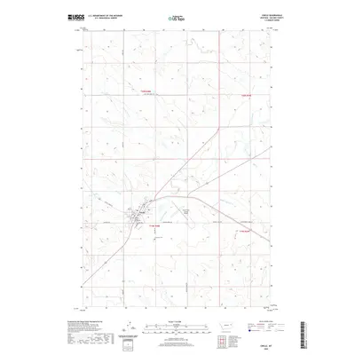
2020 Map of Circle
USGS Topo · Published 2020About this map
Circle serves as the focal point of this Eastern Montana landscape, situated at the confluence of the Redwater River and several local drainages. As the county seat, it contains the McCone County Courthouse and a centralized grid including Main St and 10th St, surrounded by the wide ranching and farming country of the high plains. The town is flanked by essential infrastructure like the Circle Town County Airport to the east and the Riverview Cem to the south along McCune Rd.
Find a feature on this map
30 named features on this map. Tap any name to fly to it.
Don’t see what you’re looking for? This feature index may not catch every label — zoom into the map to look around manually.
Map Details
Editions of this 2020 Circle Map
This is the sole edition of this map. No revisions or reprints were ever made.
Other maps of this area

1954 · Glendive
USGS Topo · 1:250,000

1957 · Glendive
USGS Topo · 1:250,000

1958 · Glendive
USGS Topo · 1:250,000

1982 · Circle
USGS Topo · 1:100,000

1983 · Youngquist Mine
USGS Topo · 1:24,000

1983 · Haynie Reservoir
USGS Topo · 1:24,000

1983 · Woodworth Hill
USGS Topo · 1:24,000

1983 · Mount Antelope
USGS Topo · 1:24,000

1983 · Quick Reservoir
USGS Topo · 1:24,000

1983 · Buffalo Creek
USGS Topo · 1:24,000