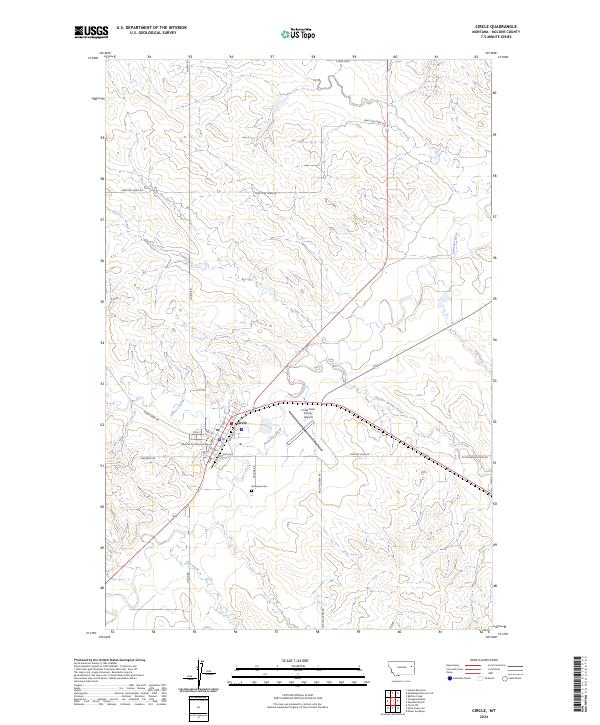
2024 Map of Circle
USGS Topo · Published 2024About this map
Circle serves as the focal point of this Eastern Montana landscape, situated at the confluence of several essential watercourses and prairie roads. The town layout is defined by its grid of numbered streets and lettered avenues, anchored by the McCone County Courthouse and the local Circle-Town County Airport just to the east. The surrounding terrain is a complex drainage basin where the Redwater River meets tributaries such as Horse Creek, Buffalo Springs Creek, and Lone Tree Creek. This hydrological network has long dictated the placement of ranching infrastructure and transportation routes like Fairgrounds Rd and Airport Loop Rd. South of the main settlement, the Riverview Cem overlooks the valley, while more distant features like Hell Creek and Gyp Creek mark the transition into the wider McCone County rangeland. The map illustrates a community deeply integrated with its river valleys, where roads often follow the natural contours of the land.
Find a feature on this map
34 named features on this map. Tap any name to fly to it.
Don’t see what you’re looking for? This feature index may not catch every label — zoom into the map to look around manually.
Map Details
Editions of this 2024 Circle Map
This is the sole edition of this map. No revisions or reprints were ever made.
Other maps of this area

1954 · Glendive
USGS Topo · 1:250,000

1957 · Glendive
USGS Topo · 1:250,000

1958 · Glendive
USGS Topo · 1:250,000

1982 · Circle
USGS Topo · 1:100,000

1983 · Youngquist Mine
USGS Topo · 1:24,000

1983 · Haynie Reservoir
USGS Topo · 1:24,000

1983 · Woodworth Hill
USGS Topo · 1:24,000

1983 · Mount Antelope
USGS Topo · 1:24,000

1983 · Quick Reservoir
USGS Topo · 1:24,000

1983 · Buffalo Creek
USGS Topo · 1:24,000