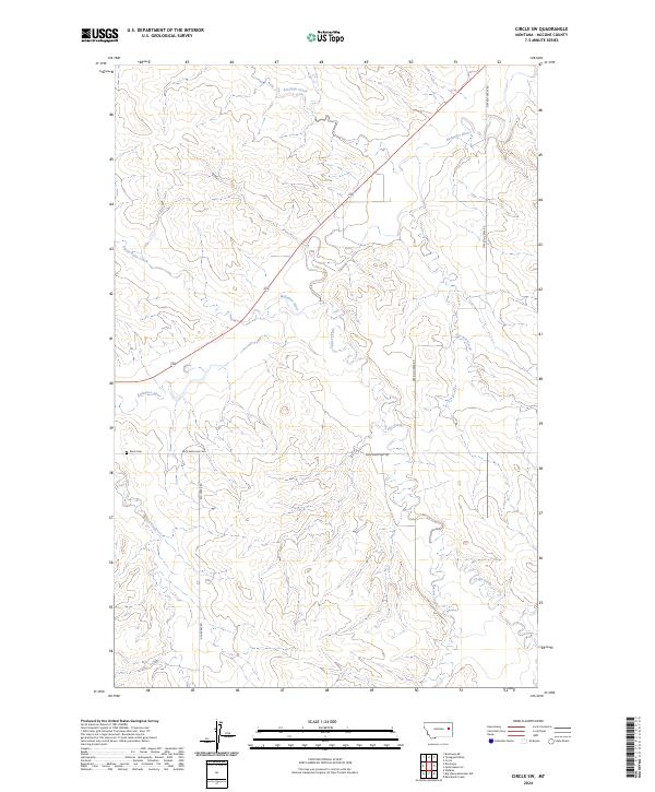
2024 Map of Circle SW
USGS Topo · Published 2024About this map
Redwater River and its numerous tributaries define this McCone County landscape, carved by an intricate drainage system including Antelope Creek and Stony Butte Creek. The map documents a predominantly rural ranching and farming environment, where the land is organized by the Public Land Survey System into sections like t18n r47e. Human presence is anchored by essential transit corridors and local landmarks such as Brost Cem, which serves as a significant touchstone for genealogical research in this part of Montana.
Find a feature on this map
18 named features on this map. Tap any name to fly to it.
Don’t see what you’re looking for? This feature index may not catch every label — zoom into the map to look around manually.
Map Details
Editions of this 2024 Circle SW Map
This is the sole edition of this map. No revisions or reprints were ever made.
Other maps of this area

1954 · Glendive
USGS Topo · 1:250,000

1957 · Glendive
USGS Topo · 1:250,000

1958 · Glendive
USGS Topo · 1:250,000

1965 · Watkins
USGS Topo · 1:24,000

1982 · Circle
USGS Topo · 1:100,000

1983 · Youngquist Mine
USGS Topo · 1:24,000

1983 · Brockway NE
USGS Topo · 1:24,000

1983 · Quick Reservoir
USGS Topo · 1:24,000

1983 · Circle
USGS Topo · 1:24,000
1983 · Brockway
USGS Topo · 1:24,000