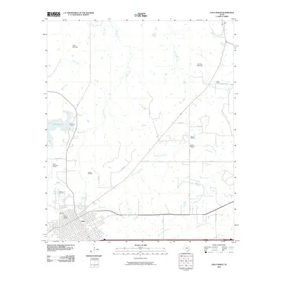
2010 Map of Cisco North
USGS Topo · Published 2010About this map
Cisco anchors the southwestern corner of this survey, displaying its street grid and the designated Cisco Historic District south of the North Fork Leon River. The landscape transitions from the urban center to the industrial petroleum operations of the Kleiner Oil Field and Bankline Owens Oil Field. To the north, the waters of Lake Cisco are held by the Williamson Dam, while prominent terrain features like Cedar Mountain and Flat Top Mountain rise above the drainage basins of Cedar Creek and Sandy Creek. Local heritage is preserved in several burial grounds, including Oakwood Cemetery near the city and the more remote Bedford Cemetery and Reagan Cemetery to the northeast, offering valuable points of interest for genealogists tracing families in Eastland County.
Find a feature on this map
33 named features on this map. Tap any name to fly to it.
Don’t see what you’re looking for? This feature index may not catch every label — zoom into the map to look around manually.
Map Details
Editions of this 2010 Cisco North Map
This is the sole edition of this map. No revisions or reprints were ever made.
Other maps of this area

1890 · Breckenridge
USGS Topo · 1:125,000

1892 · Albany
USGS Topo · 1:125,000

1893 · Albany
USGS Topo · 1:125,000

1894 · Eastland
USGS Topo · 1:125,000

1931 · Baird
USGS Topo · 1:125,000

1932 · Baird
USGS Topo · 1:125,000

1954 · Abilene
USGS Topo · 1:250,000

1958 · Abilene
USGS Topo · 1:250,000

1965 · Indian Knoll
USGS Topo · 1:24,000

1966 · Cisco North
USGS Topo · 1:24,000