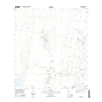
2016 Map of Citrus City
USGS Topo · Published 2016About this map
Citrus City and the surrounding borderlands of Hidalgo County appear here during a period of significant residential expansion. The map reveals a transition from traditional agricultural land use to dense, organized street grids, particularly evident in the palm-themed developments along Washington Palm Dr and Coconut Palm Dr. These neighborhoods are framed by long-standing transit corridors such as Mile 7 Rd and the prominent Tom Gill Rd.
Find a feature on this map
98 named features on this map. Tap any name to fly to it.
Don’t see what you’re looking for? This feature index may not catch every label — zoom into the map to look around manually.
Map Details
Editions of this 2016 Citrus City Map
This is the sole edition of this map. No revisions or reprints were ever made.
Other maps of this area

1940 · Monte Christo
USGS Topo · 1:62,500

1949 · Mc Allen
USGS Topo · 1:250,000

1954 · McAllen
USGS Topo · 1:250,000

1956 · Garcias
USGS Topo · 1:62,500

1956 · Los Ebanos
USGS Topo · 1:62,500

1957 · Mc Allen
USGS Topo · 1:250,000

1962 · McAllen
USGS Topo · 1:250,000

1963 · Monte Christo
USGS Topo · 1:24,000

1963 · La Joya
USGS Topo · 1:24,000

1963 · Citrus City
USGS Topo · 1:24,000