
1963 Map of Citrus City
USGS Topo · Published 1965About this map
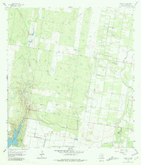
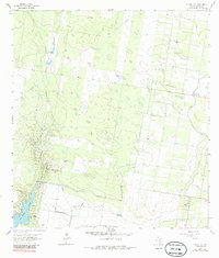
Citrus City serves as a focal point for this 1963 survey of the Rio Grande Valley hinterlands, where the landscape is defined by the rigid geometry of orchards and the Hidalgo Water Dist No 16 irrigation infrastructure. To the west, the terrain shifts into more open ranch land and industrial utility, dominated by the Tabasco Oil and Gas Field and several extraction sites including Gravel Pits and various Quarries. The presence of El Veneno Ranch and Santa Rita Ranch highlights the area's agricultural roots, while a lone Grave provides a quiet detail for genealogical research. The natural hydrology is centered on La Joya Creek, which feeds into the larger La Joya Lake in the southwestern corner, contrasting the natural drainage with the extensive network of elevated water canals and pipelines that drive the local citrus economy.
Find a feature on this map
13 named features on this map. Tap any name to fly to it.
Don’t see what you’re looking for? This feature index may not catch every label — zoom into the map to look around manually.
Map Details
Editions of this 1963 Citrus City Map
3 editions found
Other maps of this area

1940 · Monte Christo
USGS Topo · 1:62,500

1949 · Mc Allen
USGS Topo · 1:250,000

1954 · McAllen
USGS Topo · 1:250,000

1956 · Garcias
USGS Topo · 1:62,500

1956 · Los Ebanos
USGS Topo · 1:62,500

1957 · Mc Allen
USGS Topo · 1:250,000

1962 · McAllen
USGS Topo · 1:250,000

1963 · Monte Christo
USGS Topo · 1:24,000

1963 · La Joya
USGS Topo · 1:24,000
1963 · McCook
USGS Topo · 1:24,000