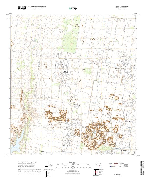
2022 Map of Citrus City
USGS Topo · Published 2022About this map
Citrus City and its surrounding colonias are depicted in this 2022 survey, illustrating the distinct residential patterns of Hidalgo County near the Rio Grande Valley. The landscape transitions from the dense, block-style housing developments of Salida del Sol Estates to the established settlements of Penitas and La Joya. To the southwest, La Joya Lake provides a notable hydrologic feature in an otherwise arid expanse defined by a grid of agricultural and residential access roads. Many of these thoroughfares carry names that hint at local industry or geology, such as Volcano Ave, Uranium Ave, and Whiterock St near the southern edge of the quadrangle. The map also captures the expansion of areas like Doffing and Palmview, where older rural routes like Mile 7 Rd and Jara Chinas now serve as the framework for growing suburban communities.
Find a feature on this map
102 named features on this map. Tap any name to fly to it.
Don’t see what you’re looking for? This feature index may not catch every label — zoom into the map to look around manually.
Map Details
Editions of this 2022 Citrus City Map
This is the sole edition of this map. No revisions or reprints were ever made.
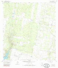
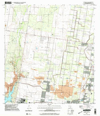
Historical Maps of Acevedo Number 3 Colonia Through Time
3 maps found