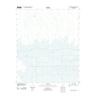
2011 Map of Citrus Valley West
USGS Topo · Published 2011About this map
Gila River drainage defines this portion of Maricopa County, cutting a wide path through the arid landscape north of the Citrus Valley settlement. The terrain transitions from the alluvial plains of the river valley toward the elevated heights of Bunyan Peak in the northern reaches of the quadrangle. Transport across this desert expanse relies on a grid of rural thoroughfares, most notably Indian Route-Road 401, which provides a primary east-west axis through the territory. Further south, the map details localized infrastructure including 419th Ave and 395th Ave, illustrating the sparse but organized land division characteristic of the region’s agricultural and residential development during the early 21st century.
Find a feature on this map
7 named features on this map. Tap any name to fly to it.
Don’t see what you’re looking for? This feature index may not catch every label — zoom into the map to look around manually.
Map Details
Editions of this 2011 Citrus Valley West Map
This is the sole edition of this map. No revisions or reprints were ever made.
Other maps of this area

1942 · Vicksburg
USGS Topo · 1:250,000

1949 · Sentinel
USGS Topo · 1:62,500

1950 · Sentinel
USGS Topo · 1:62,500

1950 · Theba
USGS Topo · 1:62,500

1951 · Theba
USGS Topo · 1:62,500

1951 · Dendora Valley
USGS Topo · 1:62,500

1951 · Woolsey Peak
USGS Topo · 1:62,500

1953 · Ajo
USGS Topo · 1:250,000

1954 · Phoenix
USGS Topo · 1:250,000

1957 · Ajo
USGS Topo · 1:250,000