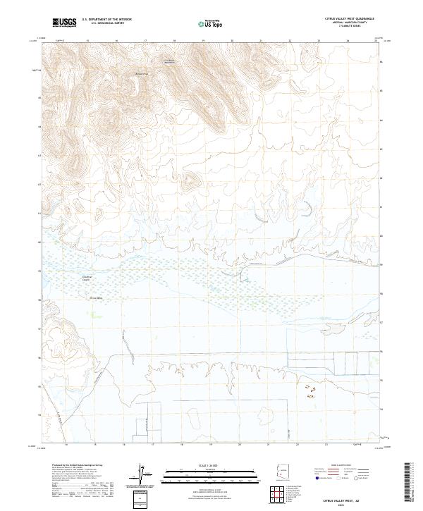
2021 Map of Citrus Valley West
USGS Topo · Published 2021About this map
Citrus Valley serves as the focal point of this arid corridor where the agricultural landscape meets the sharp relief of the Gila Bend Mountains. The terrain is dominated by the course of the Gila River, which carves through the Gila River Canyon, creating a stark transition between the flat valley floor and the high peaks of the north. Significant elevations such as Bunyan Peak overlook a network of rural roads, including Painted Rock Rd and W Northview Ave, which provide access to the desert floor. The map illustrates a landscape of managed water and land use, defined by the irrigation-dependent settlement patterns characteristic of the Arizona desert. This document preserves the modern footprint of Maricopa County’s western reaches, highlighting the intersection of natural riverine features and human-made transport lines.
Find a feature on this map
16 named features on this map. Tap any name to fly to it.
Don’t see what you’re looking for? This feature index may not catch every label — zoom into the map to look around manually.
Map Details
Editions of this 2021 Citrus Valley West Map
This is the sole edition of this map. No revisions or reprints were ever made.
Other maps of this area

1942 · Vicksburg
USGS Topo · 1:250,000

1949 · Sentinel
USGS Topo · 1:62,500

1950 · Sentinel
USGS Topo · 1:62,500

1950 · Theba
USGS Topo · 1:62,500

1951 · Theba
USGS Topo · 1:62,500

1951 · Dendora Valley
USGS Topo · 1:62,500

1951 · Woolsey Peak
USGS Topo · 1:62,500

1953 · Ajo
USGS Topo · 1:250,000

1954 · Phoenix
USGS Topo · 1:250,000

1957 · Ajo
USGS Topo · 1:250,000