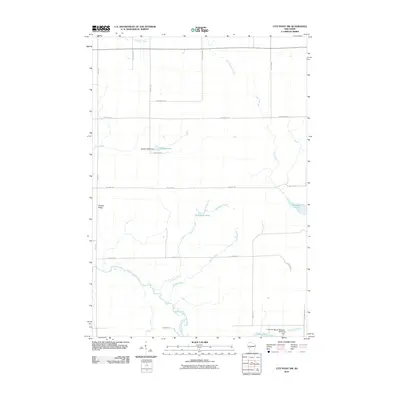
2010 Map of City Point NW
USGS Topo · Published 2010About this map
The East Fork Black River anchors this central Wisconsin landscape, winding through a region characterized by specialized water management and timbered terrain. The hydrologic complexity of the area is evident in the presence of the Cranberry Marsh Reservoir 2WP1503 Dam and the Qualley E1854 Dam, reflecting the local economic reliance on water control for agriculture and land use. Natural and man-made water bodies like Sherwood Lake 15, Washwood Pond, and the L 95 Reservoir are interspersed among the watershed's many tributaries.
Find a feature on this map
28 named features on this map. Tap any name to fly to it.
Don’t see what you’re looking for? This feature index may not catch every label — zoom into the map to look around manually.
Map Details
Editions of this 2010 City Point NW Map
This is the sole edition of this map. No revisions or reprints were ever made.
Other maps of this area

1953 · Neillsville
USGS Topo · 1:62,500

1953 · Eau Claire
USGS Topo · 1:250,000

1954 · Granton
USGS Topo · 1:62,500

1957 · City Point
USGS Topo · 1:48,000

1958 · Eau Claire
USGS Topo · 1:250,000

1958 · Hatfield
USGS Topo · 1:48,000

1964 · Eau Claire
USGS Topo · 1:250,000

1970 · City Point NE
USGS Topo · 1:24,000

1970 · Spaulding
USGS Topo · 1:24,000
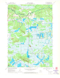
1970 · City Point
USGS Topo · 1:24,000