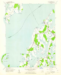
1942 Map of Claiborne
USGS Topo · Published 1961About this map
Claiborne stands at the hub of this coastal survey, where the Baltimore and Eastern RR meets the waters of the Eastern Bay. The map records a moment when the Romancoke Ferry still connected the mainland of Talbot County to the southern tip of Kent Island. To the south, the landscape is defined by the deep inlets of Harris Creek and Broad Creek, which carve the shoreline into narrow necks of land occupied by the rural communities of McDaniel, Wittman, and Sherwood.
Find a feature on this map
54 named features on this map. Tap any name to fly to it.
Don’t see what you’re looking for? This feature index may not catch every label — zoom into the map to look around manually.
Map Details
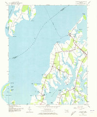
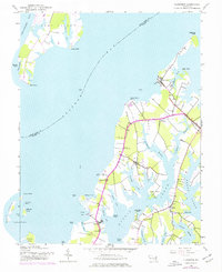
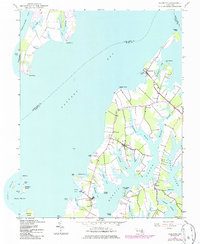
Editions of this 1942 Claiborne Map
4 editions found
Other maps of this area

1892 · Annapolis
USGS Topo · 1:62,500

1893 · Sharps Island
USGS Topo · 1:62,500

1898 · Choptank
USGS Topo · 1:125,000

1904 · St. Michaels
USGS Topo · 1:62,500

1904 · Annapolis
USGS Topo · 1:62,500

1904 · Sharps Island
USGS Topo · 1:62,500

1904 · Oxford
USGS Topo · 1:62,500

1908 · Choptank
USGS Topo · 1:125,000

1942 · Tilghman
USGS Topo · 1:31,680

1942 · Oxford
USGS Topo · 1:31,680