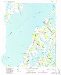
1942 Map of Claiborne
USGS Topo · Published 1986About this map
Eastern Bay dominates this coastal survey, where the intricate shoreline of the Chesapeake reveals a maritime landscape of protected coves and narrow necks. The mapping, based on 1940s photography and updated in the 1980s, documents the established communities of Claiborne, McDaniel, and Wittman along the peninsula. A complex network of waterways, including Harris Creek and Broad Creek, defines the geography, separating points of land like Wades Point and Long Point.
Find a feature on this map
53 named features on this map. Tap any name to fly to it.
Don’t see what you’re looking for? This feature index may not catch every label — zoom into the map to look around manually.
Map Details
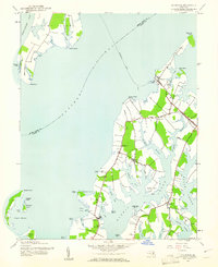
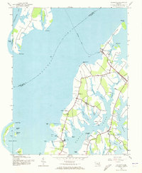
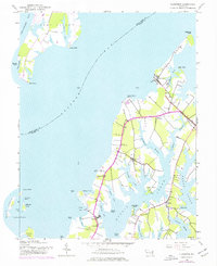
Editions of this 1942 Claiborne Map
4 editions found
Other maps of this area

1892 · Annapolis
USGS Topo · 1:62,500

1893 · Sharps Island
USGS Topo · 1:62,500

1898 · Choptank
USGS Topo · 1:125,000

1904 · St. Michaels
USGS Topo · 1:62,500

1904 · Annapolis
USGS Topo · 1:62,500

1904 · Sharps Island
USGS Topo · 1:62,500

1904 · Oxford
USGS Topo · 1:62,500

1908 · Choptank
USGS Topo · 1:125,000

1942 · Tilghman
USGS Topo · 1:31,680

1942 · Oxford
USGS Topo · 1:31,680