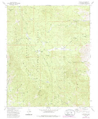
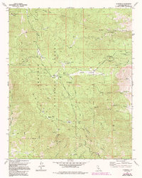
1972 Map of Claraville
USGS Topo · Published 1986About this map
Piute Mountain dominates this rugged high-altitude landscape within the Sequoia National Forest, where a legacy of hard-rock mining is etched into the terrain. The map records a complex network of 19th and early 20th-century extraction sites, including the Gold Standard Mine and the provocatively named Burning Moscow Mine. While the settlement at Claraville and nearby Claraville Flat serve as primary points of human habitation, the area is defined by its vast meadows and springs that supported both prospectors and forest rangers. Land management is visible through features like the Landers Meadow Guard Station and Camp Nick Williams. The distribution of prospects and established mines like the Marino Mine and Gwynne Mine suggest a landscape once bustling with mineral exploration, now mostly accessed via the Harris Grade Road and various jeep trails.
Find a feature on this map
60 named features on this map. Tap any name to fly to it.
Don’t see what you’re looking for? This feature index may not catch every label — zoom into the map to look around manually.
Map Details
Editions of this 1972 Claraville Map
5 editions found
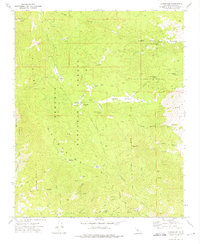
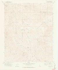
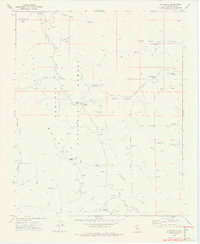
Other maps of this area

1906 · Kernville
USGS Topo · 1:125,000

1908 · Kernville
USGS Topo · 1:125,000

1915 · Mojave
USGS Topo · 1:125,000

1943 · Cross Mountain
USGS Topo · 1:62,500

1943 · Emerald Mtn
USGS Topo · 1:62,500

1943 · Onyx
USGS Topo · 1:62,500

1943 · Isabella
USGS Topo · 1:62,500

1948 · Bakersfield
USGS Topo · 1:250,000

1955 · Bakersfield
USGS Topo · 1:250,000

1956 · Bakersfield
USGS Topo · 1:250,000