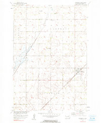
1956 Map of Claremont
USGS Topo · Published 1990About this map
Claremont serves as the primary hub in this mid-century survey of Brown County, situated at the intersection of the Great Northern railroad and the local road grid. The landscape is defined by the agricultural development of the Missouri River Basin, where several instances of a Flowing Well indicate the importance of groundwater for the surrounding prairie townships of Detroit, Shelby, and Claremont. Educational centers like Laurel Sch and Barnes Sch are spaced across the sections, marking the social foundations of this farming community. Water management is evident through the engineered Crow Creek Drainage Ditch, which cuts diagonally across the northwestern sections to facilitate drainage in this relatively level terrain.
Find a feature on this map
9 named features on this map. Tap any name to fly to it.
Don’t see what you’re looking for? This feature index may not catch every label — zoom into the map to look around manually.
Map Details
Editions of this 1956 Claremont Map
2 editions found
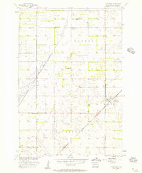
Other maps of this area

1894 · Hecla
USGS Topo · 1:62,500

1896 · Columbia
USGS Topo · 1:125,000

1952 · Huffton
USGS Topo · 1:24,000

1952 · Putney
USGS Topo · 1:24,000

1953 · Hecla SE
USGS Topo · 1:24,000

1953 · Houghton
USGS Topo · 1:24,000

1953 · Newark SW
USGS Topo · 1:24,000

1953 · Milbank
USGS Topo · 1:250,000

1954 · Daly Corners
USGS Topo · 1:24,000

1954 · Aberdeen
USGS Topo · 1:250,000
Featured Places
- Claremont, SD
- South Detroit Township, SD
- Shelby Township, SD
- Columbia Township, SD
- Claremont Township, SD