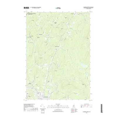
2018 Map of Claremont North
USGS Topo · Published 2018About this map
The Saint-Gaudens National Historic Site anchors the northwestern corner of this landscape, preserving the legacy of the prominent American sculptor near the banks of the Sugar River. The terrain is defined by a series of named peaks and ridges, including Dingleton Hill, Croydon Mtn, and Green Mtn, which separate the various settlements of the Cornish area. A network of historic infrastructure is evident through features like the Dingleton Hill Bridge and the Blacksmith Shop Bridge, while the educational landscape is represented by the River Valley Community College campus near Claremont.
Find a feature on this map
112 named features on this map. Tap any name to fly to it.
Don’t see what you’re looking for? This feature index may not catch every label — zoom into the map to look around manually.
Map Details
Editions of this 2018 Claremont North Map
This is the sole edition of this map. No revisions or reprints were ever made.
Other maps of this area

1902 · Sunapee
USGS Topo · 1:62,500

1905 · Sunapee
USGS Topo · 1:62,500

1906 · Hanover
USGS Topo · 1:62,500

1907 · Sunapee
USGS Topo · 1:62,500

1908 · Hanover
USGS Topo · 1:62,500

1926 · Claremont
USGS Topo · 1:62,500

1927 · Mascoma
USGS Topo · 1:62,500

1929 · Claremont
USGS Topo · 1:62,500

1932 · Mascoma
USGS Topo · 1:62,500

1950 · Glens Falls
USGS Topo · 1:250,000