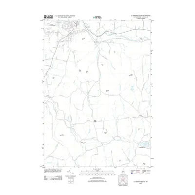
2012 Map of Claremont South
USGS Topo · Published 2012About this map
The Sugar River winds through the northern reaches of Sullivan County, defining the valley that supports the Claremont Municipal Airport and the outlying community of Puckershire. Moving south, the terrain becomes increasingly complex, marked by a series of prominent peaks including Unity Mountain, Perry Mountain, and Gove Hill. These uplands are bisected by numerous watercourses like the Little Sugar River and Quabbinnight Brook, which likely influenced the placement of early settlements and crossroads.
Find a feature on this map
131 named features on this map. Tap any name to fly to it.
Don’t see what you’re looking for? This feature index may not catch every label — zoom into the map to look around manually.
Map Details
Editions of this 2012 Claremont South Map
This is the sole edition of this map. No revisions or reprints were ever made.
Other maps of this area

1902 · Sunapee
USGS Topo · 1:62,500

1905 · Sunapee
USGS Topo · 1:62,500

1907 · Sunapee
USGS Topo · 1:62,500

1926 · Claremont
USGS Topo · 1:62,500

1927 · Bellows Falls
USGS Topo · 1:48,000

1929 · Claremont
USGS Topo · 1:62,500

1930 · Lovewell Mountain
USGS Topo · 1:62,500

1930 · Bellows Falls
USGS Topo · 1:62,500

1942 · Lovewell Mountain
USGS Topo · 1:62,500

1950 · Glens Falls
USGS Topo · 1:250,000