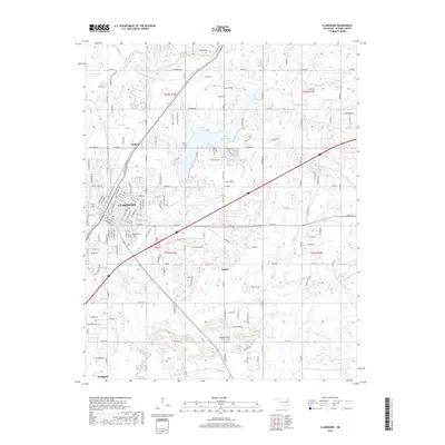
2019 Map of Claremore
USGS Topo · Published 2019About this map
Claremore and its surrounding Rogers County landscape are defined by a mix of established urban street grids and significant water features. The city center is marked by a dense network of roads like Blue Starr Dr and Cowell St, while the BNSF Railway provides a clear industrial corridor through the heart of the settlement. To the east, the Tiawah Hills rise above the drainage of Panther Cr, offering a distinct topographic contrast to the developed areas.
Find a feature on this map
172 named features on this map. Tap any name to fly to it.
Don’t see what you’re looking for? This feature index may not catch every label — zoom into the map to look around manually.
Map Details
Editions of this 2019 Claremore Map
This is the sole edition of this map. No revisions or reprints were ever made.
Other maps of this area

1896 · Pryor
USGS Topo · 1:125,000

1901 · Claremore
USGS Topo · 1:125,000

1901 · Pryor
USGS Topo · 1:125,000

1914 · Claremore
USGS Topo · 1:125,000

1916 · Claremore
USGS Topo · 1:125,000

1954 · Tulsa
USGS Topo · 1:250,000

1958 · Tulsa
USGS Topo · 1:250,000

1963 · Tulsa
USGS Topo · 1:250,000
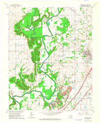
1963 · Sageeyah
USGS Topo · 1:24,000
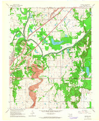
1963 · Catoosa
USGS Topo · 1:24,000