Loading...
Loading map...2022 Map of Claremore
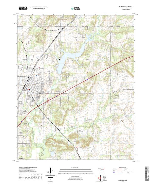
USGS Topo · Published 2022About this map
Claremore serves as the central hub of this Rogers County landscape, where the street grid radiates from the Rogers County Courthouse and reflects a long-established civic core. The city's growth is framed by the heavy industrial presence of the BNSF Railway, which cuts through the heart of the settlement near historic sites like Woodlawn Cem. Educational and religious institutions are dense here, including Claremore High Sch, First Baptist Ch, and St Cecilia Catholic Ch.
Find a feature on this map
167 named features on this map. Tap any name to fly to it.
Don’t see what you’re looking for? This feature index may not catch every label — zoom into the map to look around manually.
Map Details
Date Portrayed2022
Date Published2022
PublisherU.S. Geological Survey
Map TypeTopographic
Scale1:24000
Physical Dimensions24 x 29 inches
Editions of this 2022 Claremore Map
This is the sole edition of this map. No revisions or reprints were ever made.
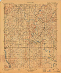
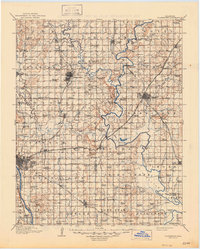
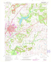
Historical Maps of Justice Through Time
5 maps found

Featured Locations
Source Details
SourceU.S. Geological Survey
CopyrightPublic Domain