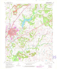
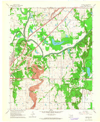
1963 Map of Claremore
USGS Topo · Published 1982About this map
Claremore's mid-century expansion is documented in this survey, showing the city's growth around established landmarks like Woodlawn Cem and Lincoln Sch. The landscape is a mix of industrial and civic development, with the Burlington Northern and Missouri Pacific railroads framing the town's western and southern corridors. To the north, the terrain of Oowala is marked by resource extraction, including a prominent Strip Mine and several Gravel Pits near the banks of Dog Creek.
Find a feature on this map
37 named features on this map. Tap any name to fly to it.
Don’t see what you’re looking for? This feature index may not catch every label — zoom into the map to look around manually.
Map Details
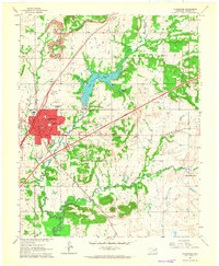
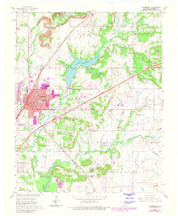
Editions of this 1963 Claremore Map
3 editions found
Other maps of this area

1896 · Pryor
USGS Topo · 1:125,000

1901 · Claremore
USGS Topo · 1:125,000

1901 · Pryor
USGS Topo · 1:125,000

1914 · Claremore
USGS Topo · 1:125,000

1916 · Claremore
USGS Topo · 1:125,000

1954 · Tulsa
USGS Topo · 1:250,000

1958 · Tulsa
USGS Topo · 1:250,000

1963 · Tulsa
USGS Topo · 1:250,000
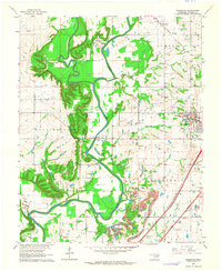
1963 · Sageeyah
USGS Topo · 1:24,000
1963 · Catoosa
USGS Topo · 1:24,000