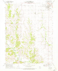
1971 Map of Clarence
USGS Topo · Published 1972About this map
Clarence serves as the primary population center on the Shelby County side of this 1971 survey, situated along the Burlington Northern railroad corridor. The landscape is defined by the winding course of the Middle Fork Salt River and its various tributaries, including Winn Branch and Bee Branch, which carve through the Round Grove township. This period of the early 1970s shows a rural Missouri landscape where small agricultural hubs like Anabel and Enterprise remain distinct points on the map, connected by a network of gravel roads and the prominent east-west rail line.
Find a feature on this map
19 named features on this map. Tap any name to fly to it.
Don’t see what you’re looking for? This feature index may not catch every label — zoom into the map to look around manually.
Map Details
Editions of this 1971 Clarence Map
2 editions found
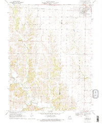
Other maps of this area

1908 · Atlanta
USGS Topo · 1:62,500

1908 · Macon
USGS Topo · 1:62,500

1910 · Macon
USGS Topo · 1:62,500

1953 · Moberly
USGS Topo · 1:250,000

1954 · Moberly
USGS Topo · 1:250,000

1957 · Moberly
USGS Topo · 1:250,000

1958 · Lentner
USGS Topo · 1:24,000
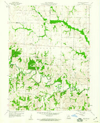
1959 · Woodlawn
USGS Topo · 1:24,000

1960 · Moberly
USGS Topo · 1:250,000
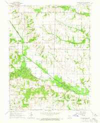
1964 · Hagers Grove
USGS Topo · 1:24,000