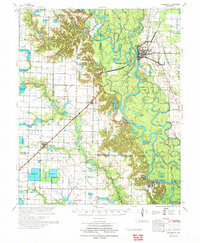
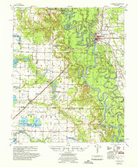
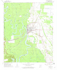
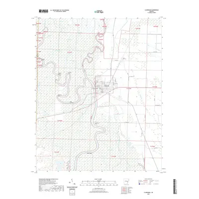
1972 Map of Clarendon
USGS Topo · Published 1972About this map
The White River and Cache River dominate this 1970s landscape at their confluence near Clarendon, which serves as a major regional hub for river and rail transit. The St Louis Southwestern railroad line cuts across the terrain, linking the riverfront to outlying settlements like Roe. The area is densely patterned with oxbow lakes and wetlands, including Peckerwood Lake, Peppers Lake, and the winding Hurricane River Bend, reflecting the complex hydrology of the Arkansas Delta.
Find a feature on this map
73 named features on this map. Tap any name to fly to it.
Don’t see what you’re looking for? This feature index may not catch every label — zoom into the map to look around manually.
Map Details
Editions of this 1972 Clarendon Map
This is the sole edition of this map. No revisions or reprints were ever made.
Historical Maps of Clarendon Through Time
10 maps found
1935 Clarendon
Monroe County, AR
1941 Clarendon
Monroe County, AR
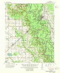
1957 Clarendon
Monroe County, AR
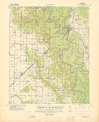
1968 Clarendon
Monroe County, AR
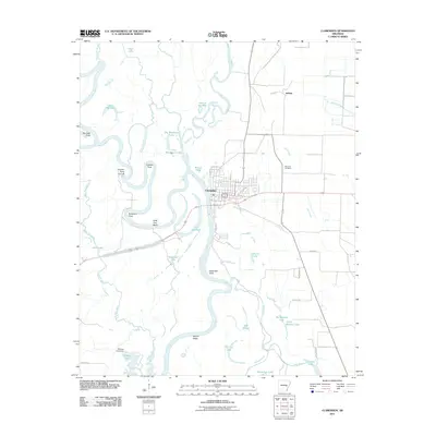
1972 Clarendon
Monroe County, AR
2011 Clarendon
Monroe County, AR
2014 Clarendon
Monroe County, AR
2017 Clarendon
Monroe County, AR
2020 Clarendon
Monroe County, AR
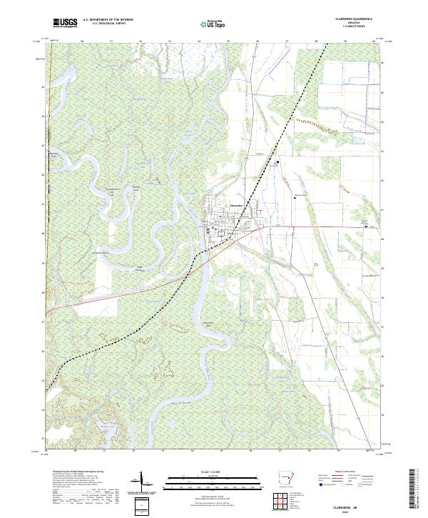
2024 Clarendon
Monroe County, AR