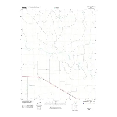
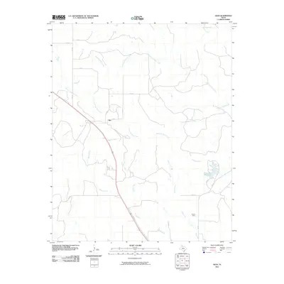
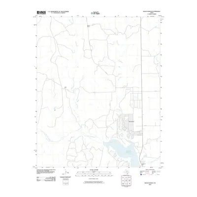
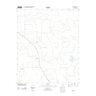
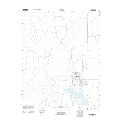
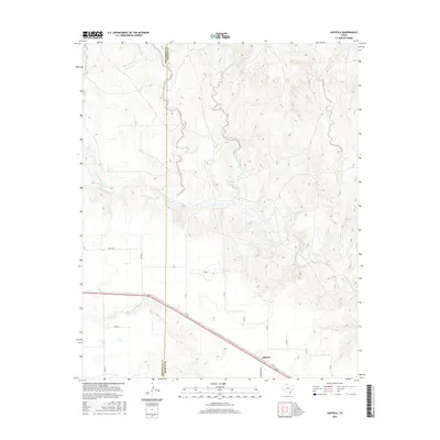
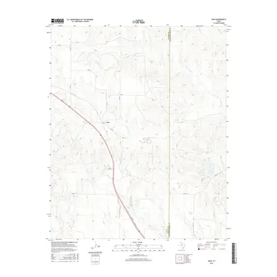
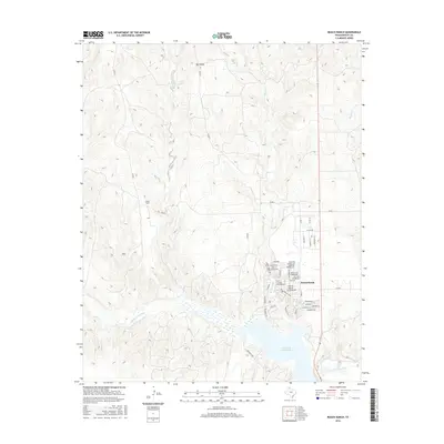
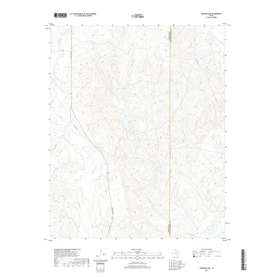
1963 Map of Clarendon SE
USGS Topo · Published 1966About this map
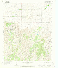
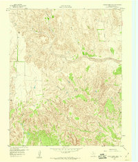
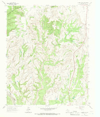
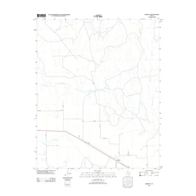
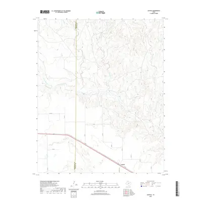
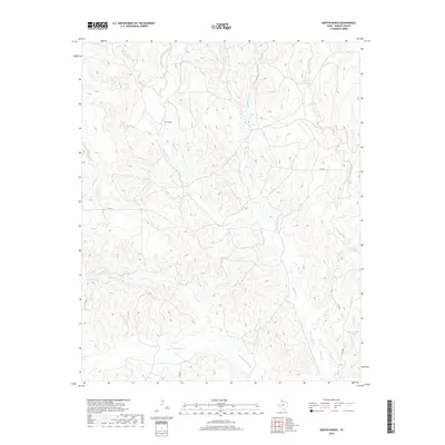
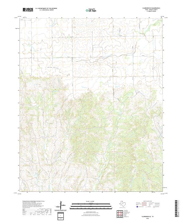
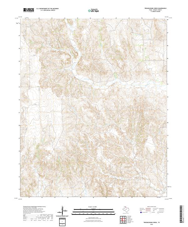
Windy Valley dominates the northern landscape of this Texas Panhandle region, where the flat upland plains transition into the deeply dissected canyonlands of the Bitter Creek drainage. In the early 1960s, this area remained a sparse ranching environment defined by the Chamberlain Community Center and scattered livestock headquarters like the Bitter Creek Ranch (West Hdqrs). The map reveals a complex hydraulic network where numerous seasonal waterways such as East Lelia Lake Creek and West Bitter Creek carve through the breaks, illustrating the classic erosional topography of the eastern Caprock. Numerous wells are marked across the valley floor, highlighting the critical importance of groundwater for the survival of remote homesteads and local community hubs in this arid Donley County terrain.
Find a feature on this map
12 named features on this map. Tap any name to fly to it.
Don’t see what you’re looking for? This feature index may not catch every label — zoom into the map to look around manually.
Map Details
Editions of this 1963 Clarendon SE Map
This is the sole edition of this map. No revisions or reprints were ever made.
Historical Maps of Donley County Through Time
72 maps found
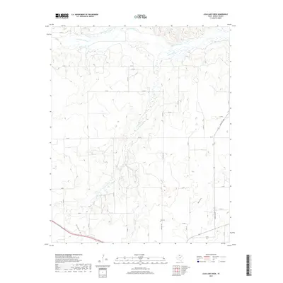
1959 Lelia Lake Creek
Donley County, TX
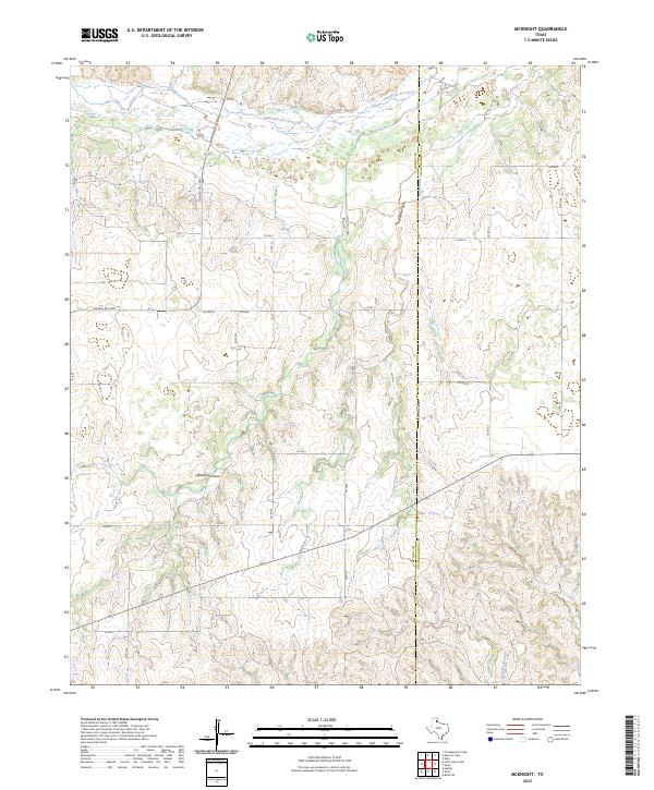
1959 McKnight
Donley County, TX
1959 Spencer Lake
Donley County, TX
1959 Troublesome Creek
Donley County, TX
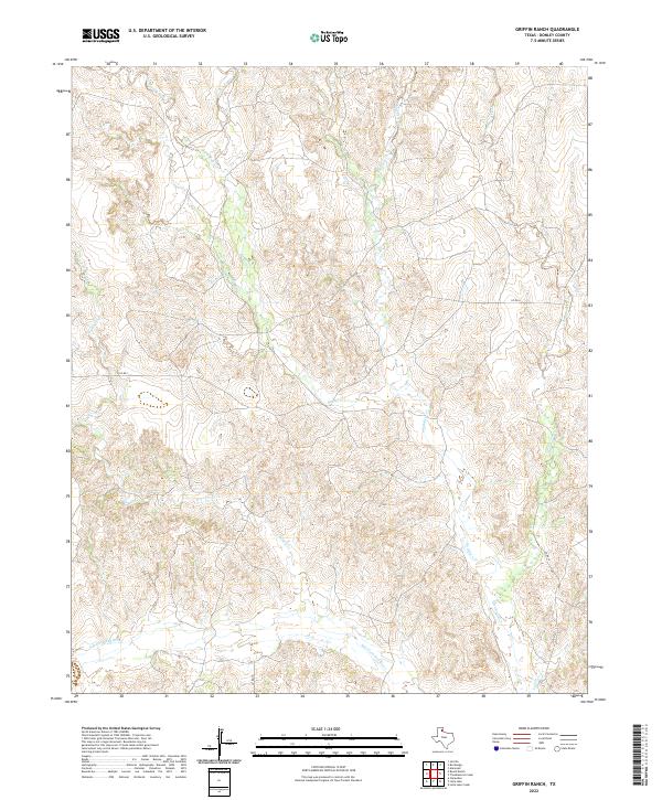
1962 Griffin Ranch
Donley County, TX
1962 Roach Ranch
Donley County, TX
1963 Buffalo Arroyo
Donley County, TX
1963 Clarendon SE
Donley County, TX
1963 Clarendon SW
Donley County, TX
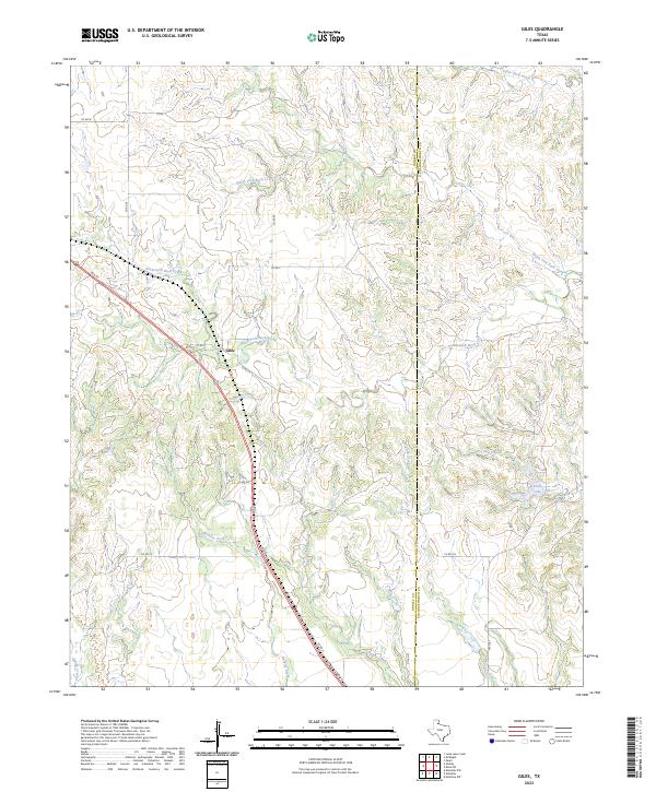
1963 Giles
Donley County, TX
1963 Tate Arroyo
Donley County, TX
1983 Ashtola
Donley County, TX
2010 Ashtola
Donley County, TX
2010 Buffalo Arroyo
Donley County, TX
2010 Clarendon SE
Donley County, TX
2010 Clarendon SW
Donley County, TX
2010 Giles
Donley County, TX
2010 Griffin Ranch
Donley County, TX
2010 Lelia Lake Creek
Donley County, TX
2010 McKnight
Donley County, TX
2010 Roach Ranch
Donley County, TX
2010 Spencer Lake
Donley County, TX
2010 Tate Arroyo
Donley County, TX
2010 Troublesome Creek
Donley County, TX
2012 Ashtola
Donley County, TX
2012 Buffalo Arroyo
Donley County, TX
2012 Clarendon SE
Donley County, TX
2012 Clarendon SW
Donley County, TX
2012 Giles
Donley County, TX
2012 Griffin Ranch
Donley County, TX
2012 Lelia Lake Creek
Donley County, TX
2012 McKnight
Donley County, TX
2012 Roach Ranch
Donley County, TX
2012 Spencer Lake
Donley County, TX
2012 Tate Arroyo
Donley County, TX
2012 Troublesome Creek
Donley County, TX
2016 Ashtola
Donley County, TX
2016 Buffalo Arroyo
Donley County, TX
2016 Clarendon SE
Donley County, TX
2016 Clarendon SW
Donley County, TX
2016 Giles
Donley County, TX
2016 Griffin Ranch
Donley County, TX
2016 Lelia Lake Creek
Donley County, TX
2016 McKnight
Donley County, TX
2016 Roach Ranch
Donley County, TX
2016 Spencer Lake
Donley County, TX
2016 Tate Arroyo
Donley County, TX
2016 Troublesome Creek
Donley County, TX
2019 Ashtola
Donley County, TX
2019 Buffalo Arroyo
Donley County, TX

2019 Clarendon SE
Donley County, TX
2019 Clarendon SW
Donley County, TX
2019 Giles
Donley County, TX
2019 Griffin Ranch
Donley County, TX
2019 Lelia Lake Creek
Donley County, TX
2019 McKnight
Donley County, TX
2019 Roach Ranch
Donley County, TX
2019 Spencer Lake
Donley County, TX
2019 Tate Arroyo
Donley County, TX
2019 Troublesome Creek
Donley County, TX
2022 Ashtola
Donley County, TX
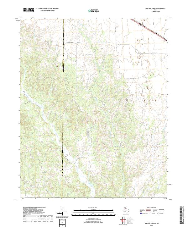
2022 Buffalo Arroyo
Donley County, TX
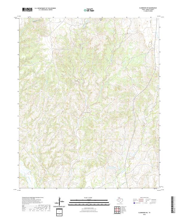
2022 Clarendon SE
Donley County, TX
2022 Clarendon SW
Donley County, TX
2022 Griffin Ranch
Donley County, TX
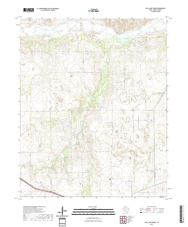
2022 Lelia Lake Creek
Donley County, TX
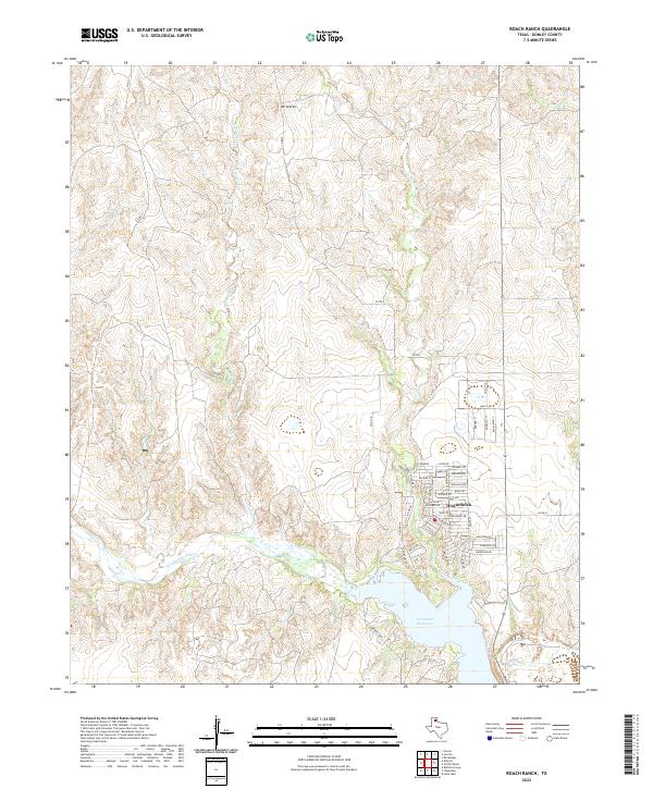
2022 Roach Ranch
Donley County, TX
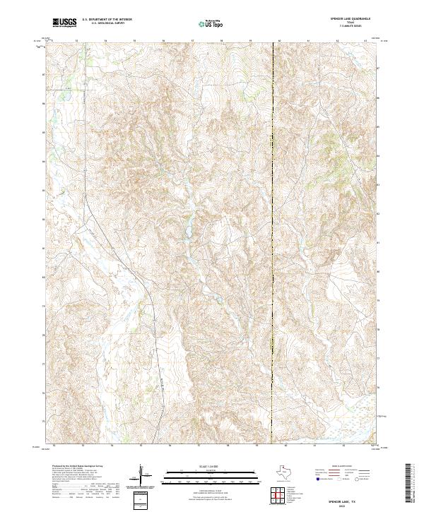
2022 Spencer Lake
Donley County, TX
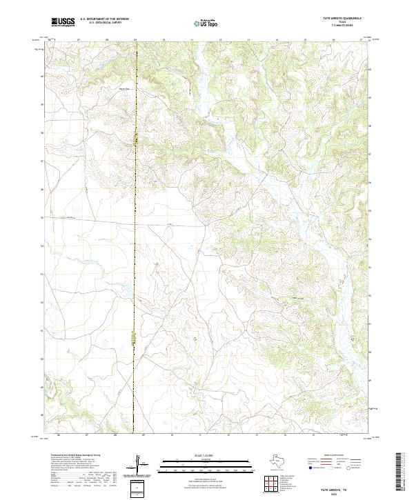
2022 Tate Arroyo
Donley County, TX
2022 Troublesome Creek
Donley County, TX
2023 Giles
Donley County, TX
2023 McKnight
Donley County, TX