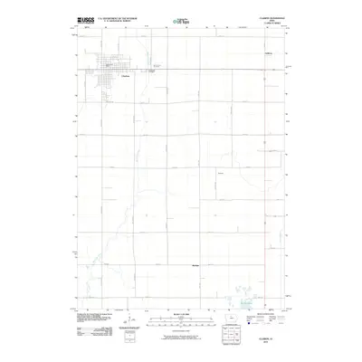
2010 Map of Clarion
USGS Topo · Published 2010About this map
Clarion serves as the focal point of this Wright County landscape, anchored by its grid of streets and the central Clarion Post Office. The town's periphery is marked by resting places like Evergreen Cemetery and Saint Johns Cemetery, which sit alongside the upper reaches of White Fox Creek. This drainage system defines the local geography, flowing southward toward the wetland area of Big Wall Lake at the bottom of the quadrangle.
Find a feature on this map
30 named features on this map. Tap any name to fly to it.
Don’t see what you’re looking for? This feature index may not catch every label — zoom into the map to look around manually.
Map Details
Editions of this 2010 Clarion Map
This is the sole edition of this map. No revisions or reprints were ever made.
Other maps of this area

1954 · Waterloo
USGS Topo · 1:250,000

1955 · Waterloo
USGS Topo · 1:250,000

1972 · Kanawha SE
USGS Topo · 1:24,000

1972 · Cornelia
USGS Topo · 1:24,000

1972 · Belmond
USGS Topo · 1:24,000

1978 · Holmes
USGS Topo · 1:24,000

1978 · Woolstock
USGS Topo · 1:24,000

1978 · Clarion
USGS Topo · 1:24,000

1978 · Sheldon Creek
USGS Topo · 1:24,000

1978 · Dows West
USGS Topo · 1:24,000