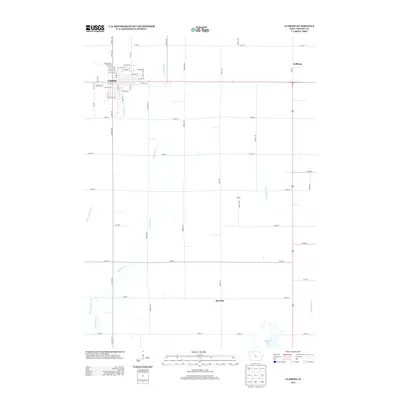
2013 Map of Clarion
USGS Topo · Published 2013About this map
Clarion serves as the primary urban center for this Wright County landscape, organized by an extensive grid of agricultural roads and drainage improvements. The land's hydrological history is visible in the network of man-made waterways, including Ditch Number 2, Ditch Number 5, and Ditch Number 149, which supplement natural drainages like White Fox Cr. These engineering efforts transformed the prairie into productive farmland, though portions of the original wetland environment remain preserved at Big Wall Lake in the southern portion of the quadrangle.
Find a feature on this map
61 named features on this map. Tap any name to fly to it.
Don’t see what you’re looking for? This feature index may not catch every label — zoom into the map to look around manually.
Map Details
Editions of this 2013 Clarion Map
This is the sole edition of this map. No revisions or reprints were ever made.
Other maps of this area

1954 · Waterloo
USGS Topo · 1:250,000

1955 · Waterloo
USGS Topo · 1:250,000

1972 · Kanawha SE
USGS Topo · 1:24,000

1972 · Cornelia
USGS Topo · 1:24,000

1972 · Belmond
USGS Topo · 1:24,000

1978 · Holmes
USGS Topo · 1:24,000

1978 · Woolstock
USGS Topo · 1:24,000

1978 · Clarion
USGS Topo · 1:24,000

1978 · Sheldon Creek
USGS Topo · 1:24,000

1978 · Dows West
USGS Topo · 1:24,000