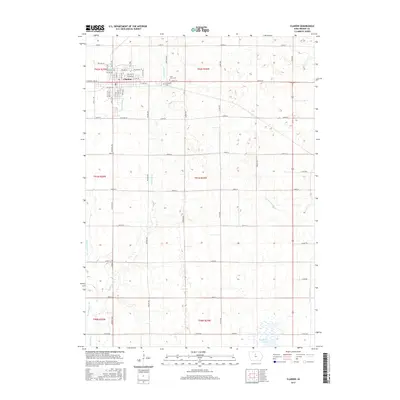
2015 Map of Clarion
USGS Topo · Published 2015About this map
Clarion serves as the focal point of this Wright County survey, situated at the intersection of a vast grid of farm roads and drainage systems. The town's structured layout is detailed through named corridors such as Central Ave W and 1st Ave NE, extending toward the rural outskirts where local history is preserved at Saint Johns Cem and Evergreen Cem. This landscape is defined by its agricultural engineering, where the natural course of White Fox Cr is supplemented by an extensive network of man-made waterways, including Ditch Number 2 and Ditch Number 149. These features reflect the long-term management of the Iowa prairie for cultivation. In the southeast, the open waters of Big Wall Lake provide a distinct contrast to the surrounding section lines and township boundaries of T92N and T91N.
Find a feature on this map
40 named features on this map. Tap any name to fly to it.
Don’t see what you’re looking for? This feature index may not catch every label — zoom into the map to look around manually.
Map Details
Editions of this 2015 Clarion Map
This is the sole edition of this map. No revisions or reprints were ever made.
Other maps of this area

1954 · Waterloo
USGS Topo · 1:250,000

1955 · Waterloo
USGS Topo · 1:250,000

1972 · Kanawha SE
USGS Topo · 1:24,000

1972 · Cornelia
USGS Topo · 1:24,000

1972 · Belmond
USGS Topo · 1:24,000

1978 · Holmes
USGS Topo · 1:24,000

1978 · Woolstock
USGS Topo · 1:24,000

1978 · Clarion
USGS Topo · 1:24,000

1978 · Sheldon Creek
USGS Topo · 1:24,000

1978 · Dows West
USGS Topo · 1:24,000