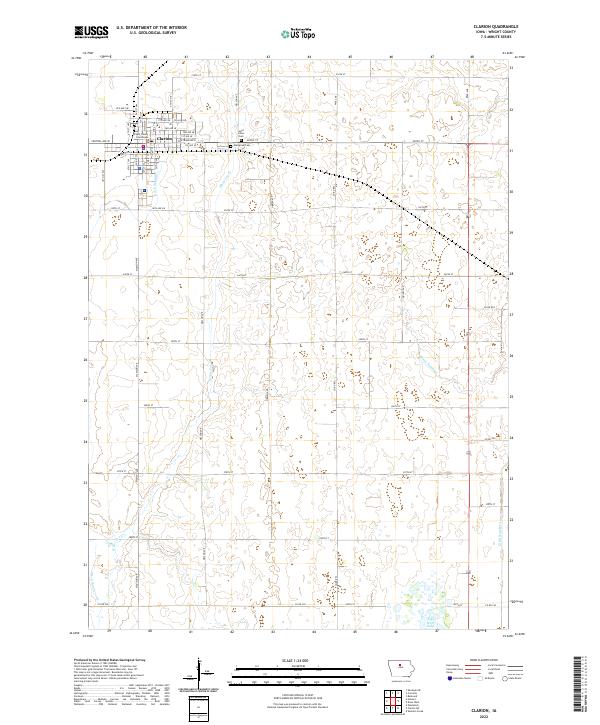
2022 Map of Clarion
USGS Topo · Published 2022About this map
The Wright County Courthouse stands at the heart of Clarion, the center of a grid-iron township network that defines Wright County's agricultural landscape. This survey documents the town’s modern layout, showing the residential and commercial spread along Central Ave W and Central Ave E. Beyond the city limits, the land is meticulously drained by a system of man-made waterways, including Ditch Number 2 and Ditch Number 5, which facilitate the region's intensive farming. These channels intersect with natural drainage like White Fox Creek, illustrating the engineered nature of the contemporary Iowa prairie.
Find a feature on this map
46 named features on this map. Tap any name to fly to it.
Don’t see what you’re looking for? This feature index may not catch every label — zoom into the map to look around manually.
Map Details
Editions of this 2022 Clarion Map
This is the sole edition of this map. No revisions or reprints were ever made.
Other maps of this area

1954 · Waterloo
USGS Topo · 1:250,000

1955 · Waterloo
USGS Topo · 1:250,000

1972 · Kanawha SE
USGS Topo · 1:24,000

1972 · Cornelia
USGS Topo · 1:24,000

1972 · Belmond
USGS Topo · 1:24,000

1978 · Holmes
USGS Topo · 1:24,000

1978 · Woolstock
USGS Topo · 1:24,000

1978 · Clarion
USGS Topo · 1:24,000

1978 · Sheldon Creek
USGS Topo · 1:24,000

1978 · Dows West
USGS Topo · 1:24,000