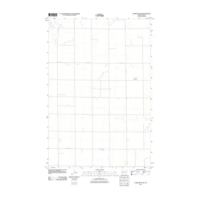
2011 Map of Clark Butte SW
USGS Topo · Published 2011About this map
Friedenfeld Cemetery serves as a silent focal point in this portion of Hettinger County, marking the heritage of the rural community near the eastern edge of the quadrangle. The landscape is defined by the wandering path of Buffalo Creek, which cuts diagonally across the prairie from the northwest. The map reflects the organized, rectilinear grid of North Dakota’s section lines, where gravel and local roads like Burt Rd, Newburg Rd, and St Placidus Rd facilitate travel between dispersed farmsteads. This 2011 survey captures a late-era look at the high plains, where the vast agricultural expanse is punctuated only by intermittent seasonal ponds and the occasional family-named landmark.
Find a feature on this map
5 named features on this map. Tap any name to fly to it.
Don’t see what you’re looking for? This feature index may not catch every label — zoom into the map to look around manually.
Map Details
Editions of this 2011 Clark Butte SW Map
This is the sole edition of this map. No revisions or reprints were ever made.
Other maps of this area

1953 · Dickinson
USGS Topo · 1:250,000

1957 · Dickinson
USGS Topo · 1:250,000

1960 · Clark Butte NW
USGS Topo · 1:24,000

1960 · Clark Butte NE
USGS Topo · 1:24,000

1960 · White Butte NE
USGS Topo · 1:24,000

1960 · Clark Butte SW
USGS Topo · 1:24,000

1960 · White Butte East
USGS Topo · 1:24,000

1960 · Clark Butte
USGS Topo · 1:24,000

1966 · Mott North
USGS Topo · 1:24,000

1969 · North Star Butte
USGS Topo · 1:24,000