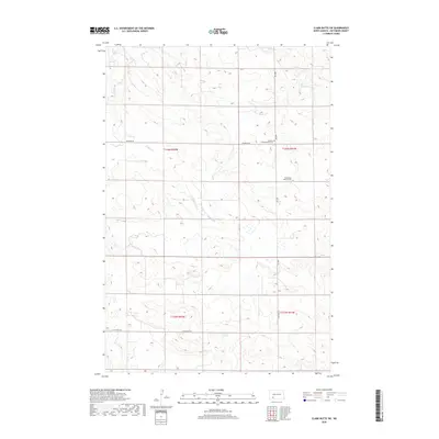
2018 Map of Clark Butte SW
USGS Topo · Published 2018About this map
Buffalo Cr winds through this section of Hettinger County, following the natural contours of the North Dakota prairie. The landscape is defined by the Section-Township-Range system, with township lines for T136N and T135N intersecting the range lines for R92W and R91W. This grid-based organization is mirrored in the rural road network, which includes Newburg Rd, Burt Rd, and St Placidus Rd. The mapping of small, local landmarks like Neuburg Congregational Cem and Eichenfeld Baptist Cem provides essential grounding for genealogists and local historians tracking early settlement patterns in this agricultural region. The scattered distribution of these cemeteries and the absence of a central township hub reflect the low-density, wide-ranging nature of prairie farming life in the twenty-first century.
Find a feature on this map
13 named features on this map. Tap any name to fly to it.
Don’t see what you’re looking for? This feature index may not catch every label — zoom into the map to look around manually.
Map Details
Editions of this 2018 Clark Butte SW Map
This is the sole edition of this map. No revisions or reprints were ever made.
Other maps of this area

1953 · Dickinson
USGS Topo · 1:250,000

1957 · Dickinson
USGS Topo · 1:250,000

1960 · Clark Butte NW
USGS Topo · 1:24,000

1960 · Clark Butte NE
USGS Topo · 1:24,000

1960 · White Butte NE
USGS Topo · 1:24,000

1960 · Clark Butte SW
USGS Topo · 1:24,000

1960 · White Butte East
USGS Topo · 1:24,000

1960 · Clark Butte
USGS Topo · 1:24,000

1966 · Mott North
USGS Topo · 1:24,000

1969 · North Star Butte
USGS Topo · 1:24,000