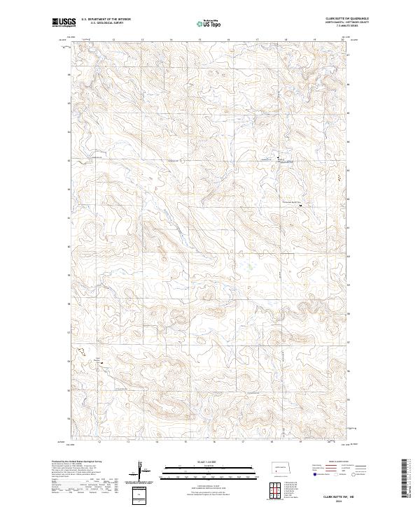
2024 Map of Clark Butte SW
USGS Topo · Published 2024About this map
Neuburg Congregational Cem and Eichenfeld Baptist Cem stand as significant cultural landmarks in this corner of Hettinger County, marking the history of early community gathering points in the North Dakota prairie. The landscape is defined by the winding course of Buffalo Creek, which cuts through the township sections as a primary drainage. A network of rural section-line roads, including Newburg Rd and Burt Rd, provides the backbone for the agricultural layout of the region. Near the southern boundary, Saint Placidus Cem along St Placidus Rd offers additional genealogical insight into the families who settled this area of the Great Plains. The alignment of these cemeteries alongside township boundaries like t136n r92w and t136n r91w reflects the orderly division of land during the homesteading era.
Find a feature on this map
14 named features on this map. Tap any name to fly to it.
Don’t see what you’re looking for? This feature index may not catch every label — zoom into the map to look around manually.
Map Details
Editions of this 2024 Clark Butte SW Map
This is the sole edition of this map. No revisions or reprints were ever made.
Other maps of this area

1953 · Dickinson
USGS Topo · 1:250,000

1957 · Dickinson
USGS Topo · 1:250,000

1960 · Clark Butte NW
USGS Topo · 1:24,000

1960 · Clark Butte NE
USGS Topo · 1:24,000

1960 · White Butte NE
USGS Topo · 1:24,000

1960 · Clark Butte SW
USGS Topo · 1:24,000

1960 · White Butte East
USGS Topo · 1:24,000

1960 · Clark Butte
USGS Topo · 1:24,000

1966 · Mott North
USGS Topo · 1:24,000

1969 · North Star Butte
USGS Topo · 1:24,000