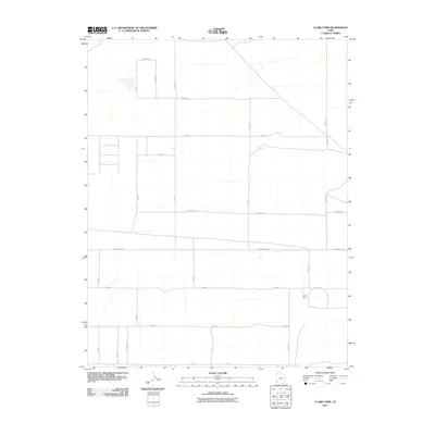
2011 Map of Clark Farm
USGS Topo · Published 2011About this map
Clark Farm anchors the southeastern corner of this Iron County landscape, representing the agricultural development of the Escalante Valley in the early 21st century. The map reveals a strictly organized grid of rural roads, including W Antelope Rd and Hulet Rd, which facilitate access to the surrounding desert flats. A notable natural feature is Mud Lake in the northwest, a seasonally variable water body characteristic of the Great Basin’s endorheic basins. This 2011 survey by the U.S. Geological Survey illustrates the intersection of modern land management and irrigation, where precise section lines and numeric road designations like 8800 North and 6000 North define the spatial arrangement of contemporary ranching and farming operations.
Find a feature on this map
25 named features on this map. Tap any name to fly to it.
Don’t see what you’re looking for? This feature index may not catch every label — zoom into the map to look around manually.
Map Details
Editions of this 2011 Clark Farm Map
This is the sole edition of this map. No revisions or reprints were ever made.
Other maps of this area

1885 · St. George
USGS Topo · 1:250,000

1891 · St. George
USGS Topo · 1:250,000

1950 · Antelope Peak
USGS Topo · 1:24,000

1950 · Iron Mountain
USGS Topo · 1:62,500

1950 · Silver Peak
USGS Topo · 1:24,000

1951 · Silver Peak
USGS Topo · 1:24,000

1951 · Avon NW
USGS Topo · 1:24,000

1953 · Cedar City
USGS Topo · 1:250,000

1958 · Cedar City
USGS Topo · 1:250,000

1962 · Cedar City
USGS Topo · 1:250,000