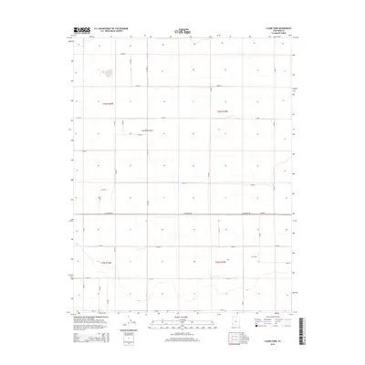
2014 Map of Clark Farm
USGS Topo · Published 2014About this map
Escalante Desert terrain dominates this Iron County landscape, showing a sparse and structured pattern of land use characterized by a rigid grid of rural roads. The named settlement of Clark Farm sits in the southeastern portion of the map, serving as a localized point of interest within a broader expanse of desert plains. This area is defined by its Public Land Survey System divisions, including t34s r16w and t34s r15w, which dictate the alignment of the local infrastructure.
Find a feature on this map
34 named features on this map. Tap any name to fly to it.
Don’t see what you’re looking for? This feature index may not catch every label — zoom into the map to look around manually.
Map Details
Editions of this 2014 Clark Farm Map
This is the sole edition of this map. No revisions or reprints were ever made.
Other maps of this area

1885 · St. George
USGS Topo · 1:250,000

1891 · St. George
USGS Topo · 1:250,000

1950 · Antelope Peak
USGS Topo · 1:24,000

1950 · Iron Mountain
USGS Topo · 1:62,500

1950 · Silver Peak
USGS Topo · 1:24,000

1951 · Silver Peak
USGS Topo · 1:24,000

1951 · Avon NW
USGS Topo · 1:24,000

1953 · Cedar City
USGS Topo · 1:250,000

1958 · Cedar City
USGS Topo · 1:250,000

1962 · Cedar City
USGS Topo · 1:250,000