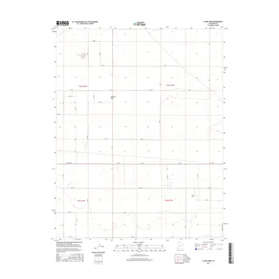
2017 Map of Clark Farm
USGS Topo · Published 2017About this map
Escalante Desert terrain dominates this portion of Iron County, where the landscape is organized by an exacting grid of section lines and range boundaries. The area is defined by its wide, open spaces and a network of gravel and improved roads, including E Antelope Rd and Sand Spring Rd, which facilitate movement through the arid flats. Within this expansive environment, Clark Farm stands as a notable point of agricultural activity, situated amidst the township lines of t35s r15w. The map illustrates the structured division of land common in the American West, where irrigation and transportation routes like 4800 N dictate the pattern of rural development and land use.
Find a feature on this map
18 named features on this map. Tap any name to fly to it.
Don’t see what you’re looking for? This feature index may not catch every label — zoom into the map to look around manually.
Map Details
Editions of this 2017 Clark Farm Map
This is the sole edition of this map. No revisions or reprints were ever made.
Other maps of this area

1885 · St. George
USGS Topo · 1:250,000

1891 · St. George
USGS Topo · 1:250,000

1950 · Antelope Peak
USGS Topo · 1:24,000

1950 · Iron Mountain
USGS Topo · 1:62,500

1950 · Silver Peak
USGS Topo · 1:24,000

1951 · Silver Peak
USGS Topo · 1:24,000

1951 · Avon NW
USGS Topo · 1:24,000

1953 · Cedar City
USGS Topo · 1:250,000

1958 · Cedar City
USGS Topo · 1:250,000

1962 · Cedar City
USGS Topo · 1:250,000