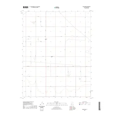
2020 Map of Clark Farm
USGS Topo · Published 2020About this map
Escalante Desert and the broader Escalante Valley define this portion of Iron County, where the landscape is organized by a rigid grid of rural corridors. The map focuses on the area surrounding Clark Farm, a notable landmark in a region otherwise characterized by expansive open terrain and straight-line surveying. A network of arterial roads, such as E Antelope Rd and Sand Spring Rd, provides the primary structure for the agricultural and ranching operations that dot the valley floor. These roads, including E 7200 N and E 4000 N, reflect the systematic land management of the Great Basin, where water and access dictate the placement of local homesteads and farmsteads.
Find a feature on this map
13 named features on this map. Tap any name to fly to it.
Don’t see what you’re looking for? This feature index may not catch every label — zoom into the map to look around manually.
Map Details
Editions of this 2020 Clark Farm Map
This is the sole edition of this map. No revisions or reprints were ever made.
Other maps of this area

1885 · St. George
USGS Topo · 1:250,000

1891 · St. George
USGS Topo · 1:250,000

1950 · Antelope Peak
USGS Topo · 1:24,000

1950 · Iron Mountain
USGS Topo · 1:62,500

1950 · Silver Peak
USGS Topo · 1:24,000

1951 · Silver Peak
USGS Topo · 1:24,000

1951 · Avon NW
USGS Topo · 1:24,000

1953 · Cedar City
USGS Topo · 1:250,000

1958 · Cedar City
USGS Topo · 1:250,000

1962 · Cedar City
USGS Topo · 1:250,000