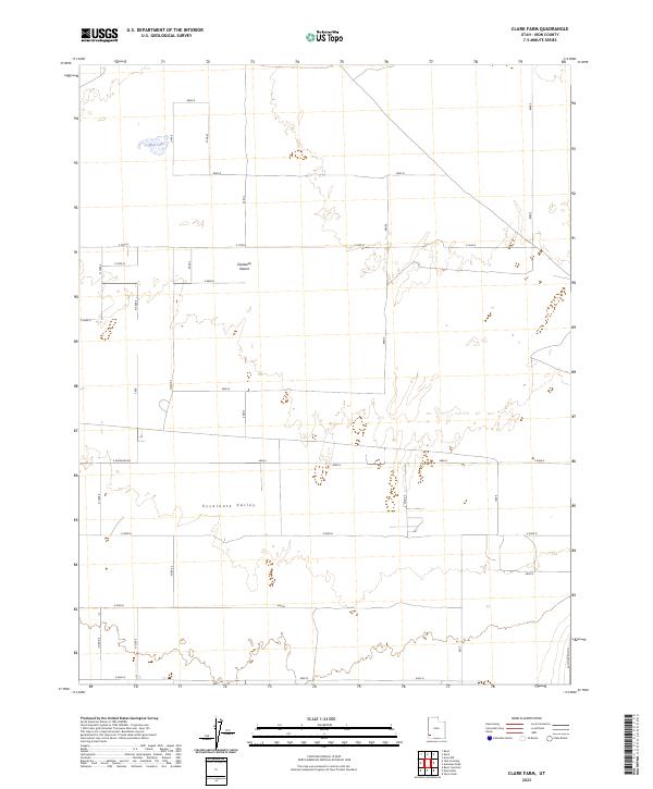
2023 Map of Clark Farm
USGS Topo · Published 2023About this map
The Escalante Desert dominates this arid landscape in Iron County, where the topography of the Escalante Valley is defined by a rigorous grid of section lines and gravel roads. In the northwestern corner of this quadrangle, Mud Lake provides a rare hydrographic feature within a region primarily characterized by its vast alluvial plains and sparse desert vegetation. The survey illustrates a highly organized approach to land management, with a succession of east-west thoroughfares including E Antelope Rd and a network of numbered corridors like E 4800 N and E 4000 N. This geometric layout reflects the systematic partitioning of the Utah basin for agricultural and ranching efforts, even in areas where water sources remain localized and intermittent. The presence of Sand Spring Rd in the southeast suggests a historical or functional connection to the occasional springs that once supported movement through this dry corridor.
Find a feature on this map
19 named features on this map. Tap any name to fly to it.
Don’t see what you’re looking for? This feature index may not catch every label — zoom into the map to look around manually.
Map Details
Editions of this 2023 Clark Farm Map
This is the sole edition of this map. No revisions or reprints were ever made.
Other maps of this area

1885 · St. George
USGS Topo · 1:250,000

1891 · St. George
USGS Topo · 1:250,000

1950 · Antelope Peak
USGS Topo · 1:24,000

1950 · Iron Mountain
USGS Topo · 1:62,500

1950 · Silver Peak
USGS Topo · 1:24,000

1951 · Silver Peak
USGS Topo · 1:24,000

1951 · Avon NW
USGS Topo · 1:24,000

1953 · Cedar City
USGS Topo · 1:250,000

1958 · Cedar City
USGS Topo · 1:250,000

1962 · Cedar City
USGS Topo · 1:250,000