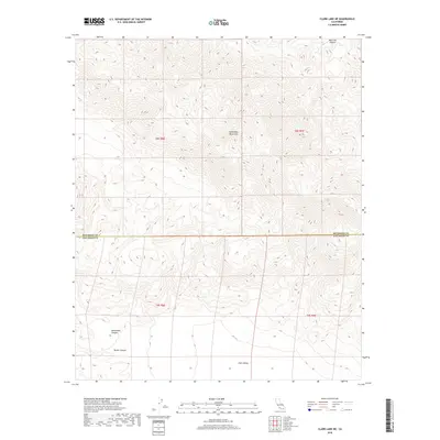
2018 Map of Clark Lake NE
USGS Topo · Published 2018About this map
The Santa Rosa Mountains dominate the northern terrain of this 2018 quadrangle, where steep elevation changes transition sharply into the expansive Clark Valley to the south. This desert landscape is defined by its dramatic drainage systems, including the deep cuts of Martinez Canyon in the northeast and the converging paths of Rockhouse Canyon and Butler Canyon in the southwest. The map documents the political boundary between Riverside and San Diego counties as it traverses these arid highlands. Modern topographic detailing illustrates the complex alluvial fans and seasonal washes that shape the valley floor, providing a precise look at the hydrology of the Colorado Desert region before it reaches the lower basin levels.
Find a feature on this map
10 named features on this map. Tap any name to fly to it.
Don’t see what you’re looking for? This feature index may not catch every label — zoom into the map to look around manually.
Map Details
Editions of this 2018 Clark Lake NE Map
This is the sole edition of this map. No revisions or reprints were ever made.
Other maps of this area

1904 · Indio
USGS Topo · 1:125,000

1931 · Vallecito
USGS Topo · 1:125,000

1941 · Toro Peak
USGS Topo · 1:62,500

1941 · Clark Lake
USGS Topo · 1:62,500

1941 · Coachella
USGS Topo · 1:62,500

1942 · Agua Dulce
USGS Topo · 1:62,500

1942 · Clark Lake
USGS Topo · 1:62,500

1943 · Vallecito
USGS Topo · 1:125,000

1943 · Coachella
USGS Topo · 1:62,500

1944 · Agua Dulce
USGS Topo · 1:62,500