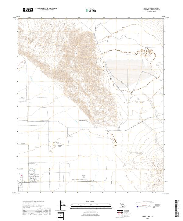
2021 Map of Clark Lake
USGS Topo · Published 2021About this map
Borrego Valley reveals a desert landscape defined by high-elevation peaks and arid basins during the early 2020s. Dominating the central portion of the map, Coyote Mtn rises sharply between the lowlands of Clark Valley to the northeast and the developing valley floor to the southwest. The transport network reflects both modern infrastructure and historic backcountry access, with the Borrego Valley Airport and major corridors like Palm Canyon Dr serving the southern settlement area, while primitive routes like the Rockhouse Truck Trl and De Anza Trl penetrate the more difficult terrain. Seasonal drainage patterns are marked by Coyote Cr, which carves through the canyons. This document provides a record of land use at the edge of the desert, where grid-patterned streets meet the natural contours of the surrounding mountain ranges.
Find a feature on this map
27 named features on this map. Tap any name to fly to it.
Don’t see what you’re looking for? This feature index may not catch every label — zoom into the map to look around manually.
Map Details
Editions of this 2021 Clark Lake Map
This is the sole edition of this map. No revisions or reprints were ever made.
Other maps of this area

1904 · Indio
USGS Topo · 1:125,000

1931 · Vallecito
USGS Topo · 1:125,000

1939 · Borrego
USGS Topo · 1:62,500

1941 · Clark Lake
USGS Topo · 1:62,500

1942 · Barrel Spring
USGS Topo · 1:62,500

1942 · Agua Dulce
USGS Topo · 1:62,500

1942 · Clark Lake
USGS Topo · 1:62,500

1942 · Borego
USGS Topo · 1:62,500

1943 · Vallecito
USGS Topo · 1:125,000

1944 · Agua Dulce
USGS Topo · 1:62,500