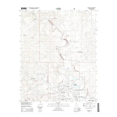
2014 Map of Clarkdale
USGS Topo · Published 2014About this map
Clarkdale and the surrounding Verde Valley landscape are defined by a complex intersection of early 20th-century industrial heritage and ancient archaeological sites. The town of Clarkdale, once a planned community for the mining industry, sits near the Verde River and the Tuzigoot National Monument, a multi-story Sinagua pueblo ruin. The influence of regional copper mining is visible through infrastructure like the Josephine Tunnel and Hopewell Tunnel near Jerome, as well as the settlement at Tapco, which served the power needs of the local smelters.
Find a feature on this map
81 named features on this map. Tap any name to fly to it.
Don’t see what you’re looking for? This feature index may not catch every label — zoom into the map to look around manually.
Map Details
Editions of this 2014 Clarkdale Map
This is the sole edition of this map. No revisions or reprints were ever made.
Other maps of this area

1887 · Verde
USGS Topo · 1:250,000

1887 · Prescott
USGS Topo · 1:250,000

1892 · Verde
USGS Topo · 1:250,000

1892 · Prescott
USGS Topo · 1:250,000

1905 · Jerome
USGS Topo · 1:125,000

1923 · Camp Verde
USGS Topo · 1:125,000

1932 · Camp Verde
USGS Topo · 1:125,000

1936 · Camp Verde
USGS Topo · 1:125,000

1944 · Clarkdale
USGS Topo · 1:48,000

1944 · Mingus Mountain
USGS Topo · 1:62,500