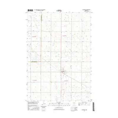
2016 Map of Clarkfield
USGS Topo · Published 2016About this map
Clarkfield serves as the primary hub of this agricultural region on the border of Lac Qui Parle and Yellow Medicine counties. The town site is clearly defined by its central Po and a grid of streets including 11th Ave, while the surrounding prairie is partitioned by an extensive network of range and township lines. North of the settlement, Flinks Slough provides a notable hydrologic break in the landscape of sectioned fields. Local genealogy and history researchers can find the location of the Clarkfield Cem positioned just northeast of the main town center. The transportation network is dominated by a strict grid of rural avenues, such as 320th Ave and 250th Ave, intersected by diagonal routes like Co Rd 24 which cuts through the southern townships.
Find a feature on this map
27 named features on this map. Tap any name to fly to it.
Don’t see what you’re looking for? This feature index may not catch every label — zoom into the map to look around manually.
Map Details
Editions of this 2016 Clarkfield Map
This is the sole edition of this map. No revisions or reprints were ever made.
Other maps of this area

1953 · New Ulm
USGS Topo · 1:250,000

1957 · New Ulm
USGS Topo · 1:250,000

1958 · New Ulm
USGS Topo · 1:250,000

1962 · Wood Lake NW
USGS Topo · 1:24,000

1965 · Montevideo
USGS Topo · 1:24,000

1965 · Clarkfield
USGS Topo · 1:24,000
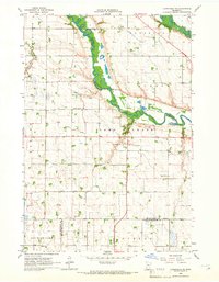
1965 · Clarkfield NE
USGS Topo · 1:24,000
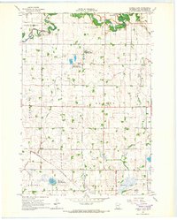
1965 · Tenmile Lake
USGS Topo · 1:24,000

1965 · Hazel Run
USGS Topo · 1:24,000

1965 · Boyd
USGS Topo · 1:24,000