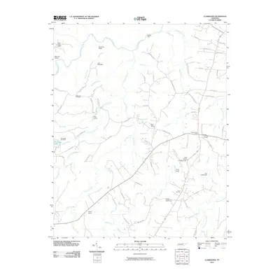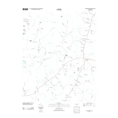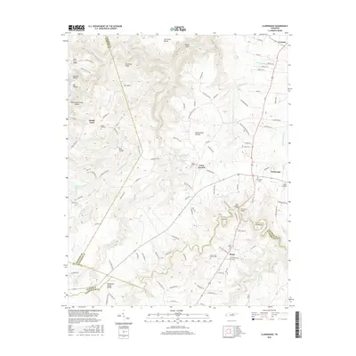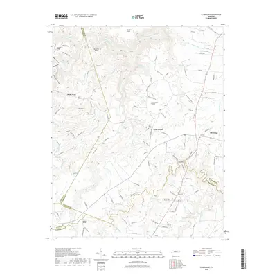
2022 Map of Clarkrange
USGS Topo · Published 2022About this map
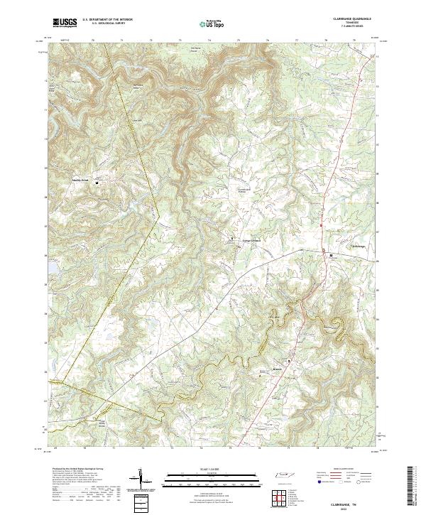
Cumberland Plateau terrain dominates this region of the Upper Cumberland, where small communities like Clarkrange and Muddy Pond sit atop high ridges and along critical drainage divides. The Tennessee Valley Divide snakes through the southern portion of the map, separating the headwaters of Clear Cr and Middle Br as they cut through the sandstone landscape. This area is characterized by dramatic topographic features like The Horse Pound and Balden Gulf, alongside family-named landmarks such as Polk Hollow and Todd Hollow. Genealogy researchers can identify numerous historic burial sites, including the Rinnie Cem and the uniquely named Elmore Cem Number One. The map also captures the winding course of the East Fork Obey River in the north and the distinctive bend known as The Gooseneck to the east.
Find a feature on this map
130 named features on this map. Tap any name to fly to it.
Don’t see what you’re looking for? This feature index may not catch every label — zoom into the map to look around manually.
Map Details
Editions of this 2022 Clarkrange Map
This is the sole edition of this map. No revisions or reprints were ever made.
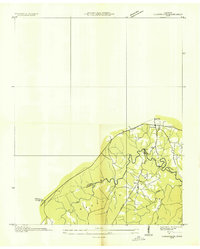
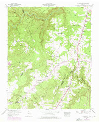
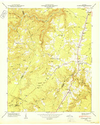
Historical Maps of Rinnie Through Time
8 maps found