
1951 Map of Clarkson Hill
USGS Topo · Published 1952About this map
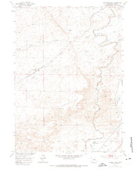
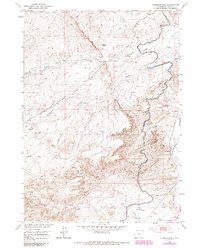
Oregon Trail wheel ruts and historical routes cut through this mid-century landscape of Natrona County, following the path of Poison Spring Creek toward the west. The terrain is defined by the massive elevation of Clarkson Hill and the surrounding drainage systems of Willow Creek and Iron Creek. Evidence of early 1950s infrastructure is prominent, including the Willow Creek Pumping Sta No 7 and an adjacent Oil Tank, reflecting the region's mid-century energy development.
Find a feature on this map
13 named features on this map. Tap any name to fly to it.
Don’t see what you’re looking for? This feature index may not catch every label — zoom into the map to look around manually.
Map Details
Editions of this 1951 Clarkson Hill Map
3 editions found
Other maps of this area

1950 · Emigrant Gap
USGS Topo · 1:24,000

1950 · Alcova SE
USGS Topo · 1:24,000

1950 · Alcova
USGS Topo · 1:24,000

1951 · Oil Mountain
USGS Topo · 1:24,000

1951 · Benton Basin
USGS Topo · 1:24,000

1951 · Poison Spider
USGS Topo · 1:24,000

1951 · Bessemer Mountain
USGS Topo · 1:24,000

1951 · Benton Basin NE
USGS Topo · 1:24,000

1955 · Casper
USGS Topo · 1:250,000

1958 · Casper
USGS Topo · 1:250,000