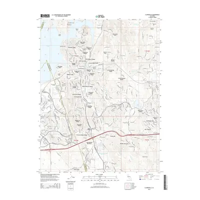
2015 Map of Clarksville
USGS Topo · Published 2015About this map
El Dorado Hills and its surrounding master-planned communities define this 2015 landscape along the eastern shores of Folsom Lake. The transition from the Sacramento Valley floor into the Sierra Nevada foothills is marked by a dense network of residential enclaves such as Saint Andrews Village, Governors Village, and Equestrian Village. These modern developments sit in contrast to the area's deeper history, anchored by the Clarksville Cemetery and the remnant settlement of Clarksville near the southern edge. The map captures a high-growth corridor where suburban expansion interacts with traditional land uses like the Hickok Ranch and Green Springs Ranch. Geographic landmarks such as Mormon Hill and the Carson Creek Watershed Reservoir provide a frame for the region's complex hydrology and historical mining associations, while the El Dorado Trail offers a preserved path through the changing terrain.
Find a feature on this map
69 named features on this map. Tap any name to fly to it.
Don’t see what you’re looking for? This feature index may not catch every label — zoom into the map to look around manually.
Map Details
Editions of this 2015 Clarksville Map
This is the sole edition of this map. No revisions or reprints were ever made.
Other maps of this area

1891 · Sacramento
USGS Topo · 1:125,000

1891 · Placerville
USGS Topo · 1:125,000

1892 · Sacramento
USGS Topo · 1:125,000

1892 · Placerville
USGS Topo · 1:125,000

1893 · Placerville
USGS Topo · 1:125,000

1893 · Sacramento
USGS Topo · 1:125,000

1908 · Buffalo Creek
USGS Topo · 1:31,680

1914 · Folsom
USGS Topo · 1:31,680
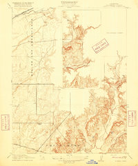
1916 · Buffalo Creek
USGS Topo · 1:31,680

1941 · Folsom
USGS Topo · 1:62,500