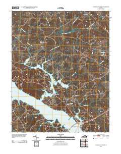
2010 Map of Clarksville North
USGS Topo · Published 2010About this map
The Roanoke River and Dan River converge in this Southern Virginia landscape, dominated by the expansive waters of the John H Kerr Reservoir. The map reveals a complex shoreline where numerous tributaries like Little Bluestone Creek and Sandy Creek meet the reservoir, creating a series of peninsulas and sheltered coves. The town of Clarksville sits at the southern edge, connected to the northern bank by the Phillip Saint Julian Wilson Bridge.
Find a feature on this map
35 named features on this map. Tap any name to fly to it.
Don’t see what you’re looking for? This feature index may not catch every label — zoom into the map to look around manually.
Map Details
Editions of this 2010 Clarksville North Map
This is the sole edition of this map. No revisions or reprints were ever made.
Other maps of this area

1941 · Clarksville
USGS Topo · 1:48,000

1943 · Clarksville
USGS Topo · 1:62,500

1953 · Greensboro
USGS Topo · 1:250,000

1954 · Greensboro
USGS Topo · 1:250,000

1954 · Clover
USGS Topo · 1:62,500

1955 · Chase City
USGS Topo · 1:62,500

1955 · Boydton
USGS Topo · 1:62,500

1957 · Clarksville
USGS Topo · 1:62,500

1962 · Greensboro
USGS Topo · 1:250,000

1966 · Greensboro
USGS Topo · 1:250,000