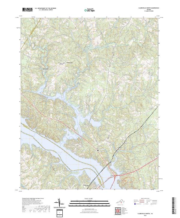
2022 Map of Clarksville North
USGS Topo · Published 2022About this map
The waters of the John H. Kerr Reservoir dominate the southern landscape of this Mecklenburg County region, where the Roanoke River and its many tributaries, such as Bluestone Creek and Little Bluestone Creek, create a deeply indented shoreline. This modern survey illustrates the proximity of historical crossroads like Bluestone and Jeffress to the expanding water recreation areas at Occoneechee Harbor and Occoneechee Park.
Find a feature on this map
111 named features on this map. Tap any name to fly to it.
Don’t see what you’re looking for? This feature index may not catch every label — zoom into the map to look around manually.
Map Details
Editions of this 2022 Clarksville North Map
This is the sole edition of this map. No revisions or reprints were ever made.
Other maps of this area

1941 · Clarksville
USGS Topo · 1:48,000

1943 · Clarksville
USGS Topo · 1:62,500

1953 · Greensboro
USGS Topo · 1:250,000

1954 · Greensboro
USGS Topo · 1:250,000

1954 · Clover
USGS Topo · 1:62,500

1955 · Chase City
USGS Topo · 1:62,500

1955 · Boydton
USGS Topo · 1:62,500

1957 · Clarksville
USGS Topo · 1:62,500

1962 · Greensboro
USGS Topo · 1:250,000

1966 · Greensboro
USGS Topo · 1:250,000