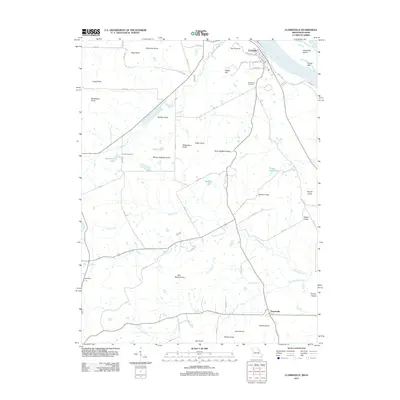
2011 Map of Clarksville
USGS Topo · Published 2011About this map
Mississippi River frontage and a series of prominent knobs define this portion of Pike County along the Missouri-Illinois border. The town of Clarksville sits at the river's edge, shadowed by The Pinnacle and Robert Hill, with its local history anchored at Greenwood Cemetery. To the south, the settlement of Paynesville serves as a localized hub near Ramsey Creek and the family-named Owens Knob.
Find a feature on this map
73 named features on this map. Tap any name to fly to it.
Don’t see what you’re looking for? This feature index may not catch every label — zoom into the map to look around manually.
Map Details
Editions of this 2011 Clarksville Map
This is the sole edition of this map. No revisions or reprints were ever made.
Other maps of this area

1890 · Louisiana
USGS Topo · 1:125,000

1930 · Nebo
USGS Topo · 1:62,500

1934 · Nebo
USGS Topo · 1:48,000

1934 · Elsberry
USGS Topo · 1:48,000

1937 · Silex
USGS Topo · 1:62,500

1937 · Bowling Green
USGS Topo · 1:62,500

1939 · Silex
USGS Topo · 1:48,000

1940 · Bowling Green
USGS Topo · 1:62,500

1942 · Nebo
USGS Topo · 1:62,500

1942 · Elsberry
USGS Topo · 1:62,500