Loading...
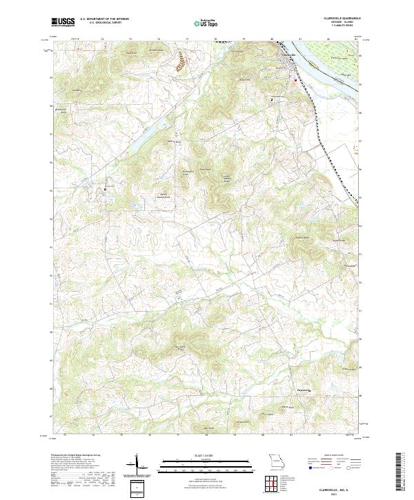
Loading map...2021 Map of Clarksville
USGS Topo · Published 2021About this map
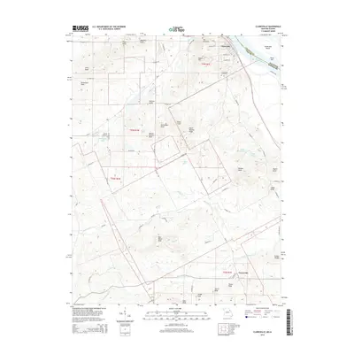
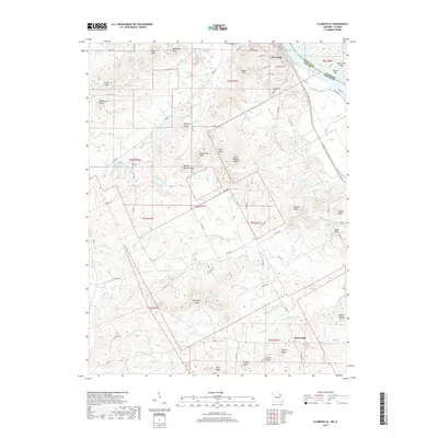
The Mississippi River forms the eastern edge of this Missouri landscape, where the town of Clarksville sits along the shoreline across from Clarksville Island. The terrain is defined by a dense concentration of knobs and ridges that extend inland, reflecting the complex topography of Pike County. To the south, the village of Paynesville serves as a small hub amidst a network of family-named landmarks such as Ben Watts Knob, Marion Mackey Knob, and Richardson Knob.
Find a feature on this map
72 named features on this map. Tap any name to fly to it.
Don’t see what you’re looking for? This feature index may not catch every label — zoom into the map to look around manually.
Map Details
Date Portrayed2021
Date Published2021
PublisherU.S. Geological Survey
Map TypeTopographic
Scale1:24,000
Physical Dimensions24 x 29 inches
Editions of this 2021 Clarksville Map
This is the sole edition of this map. No revisions or reprints were ever made.
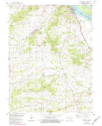
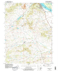
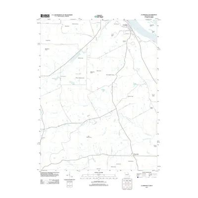
Historical Maps of Clarksville Through Time
6 maps found
Featured Locations
Source Details
SourceU.S. Geological Survey
CopyrightPublic Domain