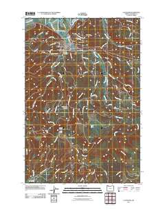
2011 Map of Clatskanie
USGS Topo · Published 2011About this map
Clatskanie sits at the confluence of the Clatskanie River and Westport Slough in this 2011 survey of Columbia County, Oregon. The town's layout is centered around the Clatskanie Post Office, with residential roads like SW Orchard Dr and Park Dr framing the central district. The surrounding hillsides are dotted with numerous historic burial grounds, including Murray Hill Cemetery, Maplewood Cemetery, and Bryant Cemetery, which serve as vital markers for genealogical research in the Lower Columbia region.
Find a feature on this map
80 named features on this map. Tap any name to fly to it.
Don’t see what you’re looking for? This feature index may not catch every label — zoom into the map to look around manually.
Map Details
Editions of this 2011 Clatskanie Map
This is the sole edition of this map. No revisions or reprints were ever made.
Other maps of this area
1919 · Mayger
USGS Topo · 1:62,500
1940 · Vernonia
USGS Topo · 1:62,500
1941 · Keasey
USGS Topo · 1:62,500
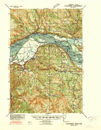
1941 · Clatskanie
USGS Topo · 1:62,500
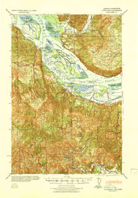
1941 · Cathlamet
USGS Topo · 1:62,500
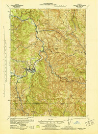
1943 · Vernonia
USGS Topo · 1:62,500
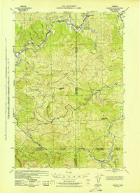
1943 · Keasey
USGS Topo · 1:62,500

1948 · Vancouver
USGS Topo · 1:250,000

1950 · Vancouver
USGS Topo · 1:250,000

1950 · Vancouver
USGS Topo · 1:250,000