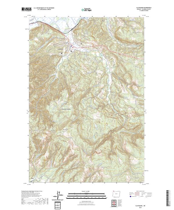
2024 Map of Clatskanie
USGS Topo · Published 2024About this map
Clatskanie serves as the focal point of this Northwest Oregon landscape, where the Clatskanie River winds through a valley defined by timbered uplands and intricate watercourses. The town's historical footprint is anchored by several burial grounds, including Murray Hill Cem and Maplewood Cem, while the northern edge is marked by industrial and hydraulic features like the Beaver-Dredge Cut. To the south, the terrain rises significantly toward Windy Ridge and Windy Mtn, where elevations exceed 1,400 feet at Benson Point.
Find a feature on this map
90 named features on this map. Tap any name to fly to it.
Don’t see what you’re looking for? This feature index may not catch every label — zoom into the map to look around manually.
Map Details
Editions of this 2024 Clatskanie Map
This is the sole edition of this map. No revisions or reprints were ever made.
Other maps of this area

1919 · Mayger
USGS Topo · 1:62,500

1940 · Vernonia
USGS Topo · 1:62,500

1941 · Keasey
USGS Topo · 1:62,500

1941 · Clatskanie
USGS Topo · 1:62,500

1941 · Cathlamet
USGS Topo · 1:62,500

1943 · Vernonia
USGS Topo · 1:62,500

1943 · Keasey
USGS Topo · 1:62,500

1948 · Vancouver
USGS Topo · 1:250,000

1950 · Vancouver
USGS Topo · 1:250,000

1950 · Vancouver
USGS Topo · 1:250,000